Distance to Hassayampa, Arizona

Calculating Your Route
Just a moment while we process your request...
Location Information
-
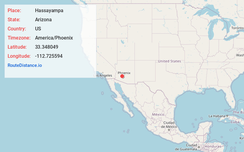
Full AddressHassayampa, AZ 85326
-
Coordinates33.348049, -112.725594
-
LocationHassayampa , Arizona , US
-
TimezoneAmerica/Phoenix
-
Current Local Time7:18:59 PM America/PhoenixMonday, June 2, 2025
-
Page Views0
About Hassayampa
Hassayampa is a populated place situated on both banks of the Hassayampa River in western Maricopa County, Arizona. It is about four miles west of Palo Verde, Arizona, and slightly east of Dixie, Arizona, and Arlington, Arizona.
Nearby Places
Found 10 places within 50 miles

Arlington
2.7 mi
4.3 km
Arlington, AZ 85322
Get directions

Buckeye
8.3 mi
13.4 km
Buckeye, AZ
Get directions

Gillespie Dam
8.6 mi
13.8 km
Gillespie Dam, Arlington, AZ 85322
Get directions

Wintersburg
9.5 mi
15.3 km
Wintersburg, AZ 85354
Get directions

Crag
10.7 mi
17.2 km
Crag, AZ 85322
Get directions

Tonopah
15.8 mi
25.4 km
Tonopah, AZ 85354
Get directions
Perryville
16.4 mi
26.4 km
Perryville, Goodyear, AZ 85338
Get directions
McMicken
20.1 mi
32.3 km
McMicken, Goodyear, AZ 85338
Get directions
Citrus Park
20.8 mi
33.5 km
Citrus Park, AZ
Get directions
Estrella Camp
21.4 mi
34.4 km
Estrella Camp, Goodyear, AZ 85338
Get directions
Location Links
Local Weather
Weather Information
Coming soon!
Location Map
Static map view of Hassayampa, Arizona
Browse Places by Distance
Places within specific distances from Hassayampa
Short Distances
Long Distances
Click any distance to see all places within that range from Hassayampa. Distances shown in miles (1 mile ≈ 1.61 kilometers).