Distance to and from Tonopah, Arizona
Tonopah, AZ 85354
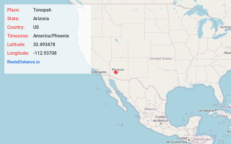
Tonopah
Arizona
US
America/Phoenix
Location Information
-
Full AddressTonopah, AZ 85354
-
Coordinates33.4934778, -112.9370802
-
LocationTonopah , Arizona , US
-
TimezoneAmerica/Phoenix
-
Current Local Time9:02:56 PM America/PhoenixSunday, May 4, 2025
-
Page Views0
Directions to Nearest Cities
About Tonopah
Tonopah is an unincorporated community and census-designated place in western Maricopa County, Arizona, United States, 52 miles west of downtown Phoenix off Interstate 10. The community is near the Palo Verde Nuclear Generating Station, the largest power producer in the country, nuclear or otherwise.


Nearby Places
Found 10 places within 50 miles

Wintersburg
6.6 mi
10.6 km
Wintersburg, AZ 85354
Get directions

Arlington
15.3 mi
24.6 km
Arlington, AZ 85322
Get directions

Buckeye
22.1 mi
35.6 km
Buckeye, AZ
Get directions

Citrus Park
28.6 mi
46.0 km
Citrus Park, AZ
Get directions

Wittmann
30.6 mi
49.2 km
Wittmann, AZ 85361
Get directions

Morristown
30.9 mi
49.7 km
Morristown, AZ
Get directions

Goodyear
33.6 mi
54.1 km
Goodyear, AZ
Get directions

Aguila
33.9 mi
54.6 km
Aguila, AZ 85320
Get directions

Surprise
34.1 mi
54.9 km
Surprise, AZ
Get directions

Avondale
34.1 mi
54.9 km
Avondale, AZ
Get directions
Wintersburg
6.6 mi
10.6 km
Wintersburg, AZ 85354
Arlington
15.3 mi
24.6 km
Arlington, AZ 85322
Buckeye
22.1 mi
35.6 km
Buckeye, AZ
Citrus Park
28.6 mi
46.0 km
Citrus Park, AZ
Wittmann
30.6 mi
49.2 km
Wittmann, AZ 85361
Morristown
30.9 mi
49.7 km
Morristown, AZ
Goodyear
33.6 mi
54.1 km
Goodyear, AZ
Aguila
33.9 mi
54.6 km
Aguila, AZ 85320
Surprise
34.1 mi
54.9 km
Surprise, AZ
Avondale
34.1 mi
54.9 km
Avondale, AZ
Location Links
Local Weather
Weather Information
Coming soon!
Location Map
Static map view of Tonopah, Arizona
Browse Places by Distance
Places within specific distances from Tonopah
Short Distances
Long Distances
Click any distance to see all places within that range from Tonopah. Distances shown in miles (1 mile ≈ 1.61 kilometers).