Distance to Gillespie Dam, Arizona

Calculating Your Route
Just a moment while we process your request...
Location Information
-
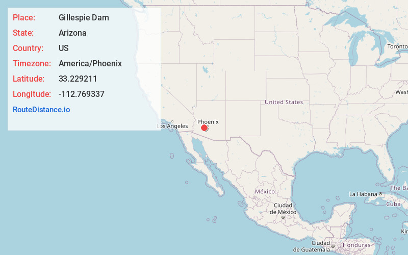
Full AddressGillespie Dam, Arlington, AZ 85322
-
Coordinates33.2292105, -112.7693374
-
LocationArlington , Arizona , US
-
TimezoneAmerica/Phoenix
-
Current Local Time10:25:43 PM America/PhoenixWednesday, June 18, 2025
-
Page Views0
About Gillespie Dam
Remains of a concrete dam on the Gila River that was built in 1921 & partially collapsed in 1993.


Nearby Places
Found 10 places within 50 miles

Arlington
6.7 mi
10.8 km
Arlington, AZ 85322
Get directions

Crag
9.1 mi
14.6 km
Crag, AZ 85322
Get directions

Wintersburg
14.2 mi
22.9 km
Wintersburg, AZ 85354
Get directions

Buckeye
14.5 mi
23.3 km
Buckeye, AZ
Get directions
San Lucy Village
18.6 mi
29.9 km
San Lucy Village, AZ 85337
Get directions

Gila Bend
19.7 mi
31.7 km
Gila Bend, AZ
Get directions

Tonopah
20.7 mi
33.3 km
Tonopah, AZ 85354
Get directions
Theba
22.7 mi
36.5 km
Theba, AZ 85337
Get directions
Perryville
22.8 mi
36.7 km
Perryville, Goodyear, AZ 85338
Get directions
Estrella
25.8 mi
41.5 km
Estrella, AZ
Get directions
Location Links
Local Weather
Weather Information
Coming soon!
Location Map
Static map view of Gillespie Dam, Arizona
Browse Places by Distance
Places within specific distances from Gillespie Dam
Short Distances
Long Distances
Click any distance to see all places within that range from Gillespie Dam. Distances shown in miles (1 mile ≈ 1.61 kilometers).