Distance to Hayesville, North Carolina

Calculating Your Route
Just a moment while we process your request...
Location Information
-
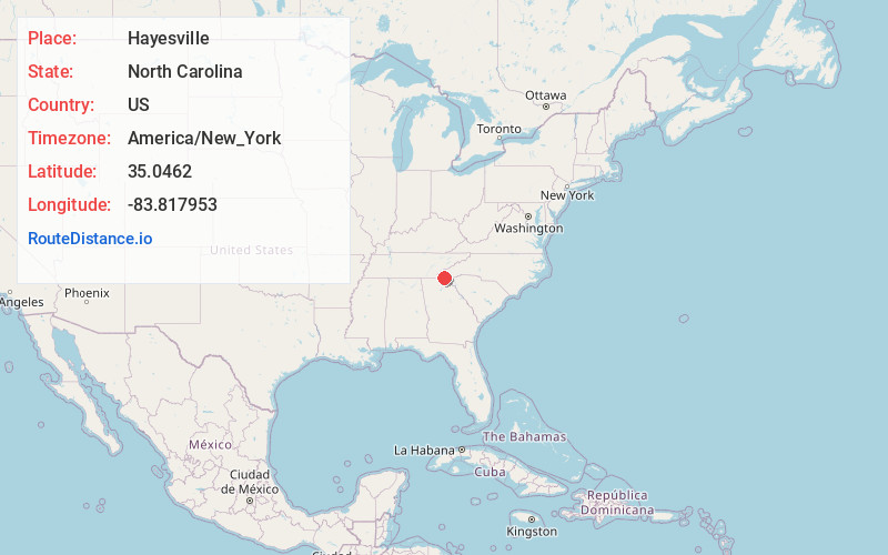
Full AddressHayesville, NC 28904
-
Coordinates35.0462003, -83.8179527
-
LocationHayesville , North Carolina , US
-
TimezoneAmerica/New_York
-
Current Local Time4:39:38 AM America/New_YorkWednesday, June 18, 2025
-
Page Views0
About Hayesville
Hayesville is a town in Clay County, North Carolina, United States. The population was 311 at the 2010 census. It is the county seat of Clay County.


Nearby Places
Found 10 places within 50 miles

Hiawassee
7.5 mi
12.1 km
Hiawassee, GA 30546
Get directions

Young Harris
8.0 mi
12.9 km
Young Harris, GA 30582
Get directions

Andrews
10.8 mi
17.4 km
Andrews, NC 28901
Get directions

Murphy
12.6 mi
20.3 km
Murphy, NC 28906
Get directions

Blairsville
14.2 mi
22.9 km
Blairsville, GA 30512
Get directions

Robbinsville
19.1 mi
30.7 km
Robbinsville, NC 28771
Get directions

Mountain City
26.0 mi
41.8 km
Mountain City, GA
Get directions

Clayton
26.3 mi
42.3 km
Clayton, GA 30525
Get directions

Franklin
26.4 mi
42.5 km
Franklin, NC 28734
Get directions

Cleveland
31.2 mi
50.2 km
Cleveland, GA 30528
Get directions
Location Links
Local Weather
Weather Information
Coming soon!
Location Map
Static map view of Hayesville, North Carolina
Browse Places by Distance
Places within specific distances from Hayesville
Short Distances
Long Distances
Click any distance to see all places within that range from Hayesville. Distances shown in miles (1 mile ≈ 1.61 kilometers).