Distance to Hazael, Ohio

Calculating Your Route
Just a moment while we process your request...
Location Information
-
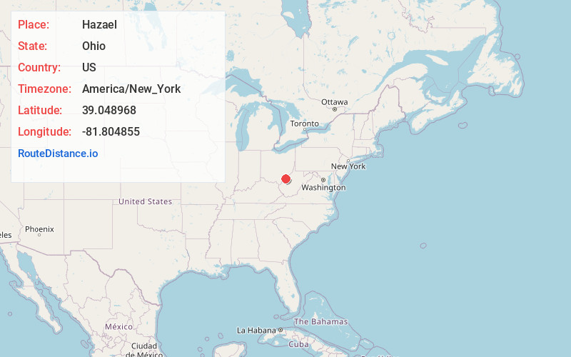
Full AddressHazael, Lebanon Township, OH 45772
-
Coordinates39.0489677, -81.8048553
-
LocationLebanon Township , Ohio , US
-
TimezoneAmerica/New_York
-
Current Local Time2:20:19 PM America/New_YorkTuesday, July 1, 2025
-
Page Views0
Nearby Places
Found 10 places within 50 miles

Neptune
2.3 mi
3.7 km
Neptune, WV 26164
Get directions
Long Bottom
2.6 mi
4.2 km
Long Bottom, OH 45743
Get directions
Bashan
3.3 mi
5.3 km
Bashan, Chester Township, OH 45743
Get directions
Skull Run
3.7 mi
6.0 km
Skull Run, WV 26164
Get directions
Spiller
4.3 mi
6.9 km
Spiller, OH 45771
Get directions
Pond Creek
4.6 mi
7.4 km
Pond Creek, WV 26133
Get directions

Shade River State Forest
4.9 mi
7.9 km
Shade River State Forest, Ohio
Get directions
Topins Grove
5.2 mi
8.4 km
Topins Grove, WV 26164
Get directions
Success
6.1 mi
9.8 km
Success, Olive Township, OH 45772
Get directions
Willowdale
6.4 mi
10.3 km
Willowdale, WV 26164
Get directions
Location Links
Local Weather
Weather Information
Coming soon!
Location Map
Static map view of Hazael, Ohio
Browse Places by Distance
Places within specific distances from Hazael
Short Distances
Long Distances
Click any distance to see all places within that range from Hazael. Distances shown in miles (1 mile ≈ 1.61 kilometers).