Distance to Head Waters, Virginia

Calculating Your Route
Just a moment while we process your request...
Location Information
-
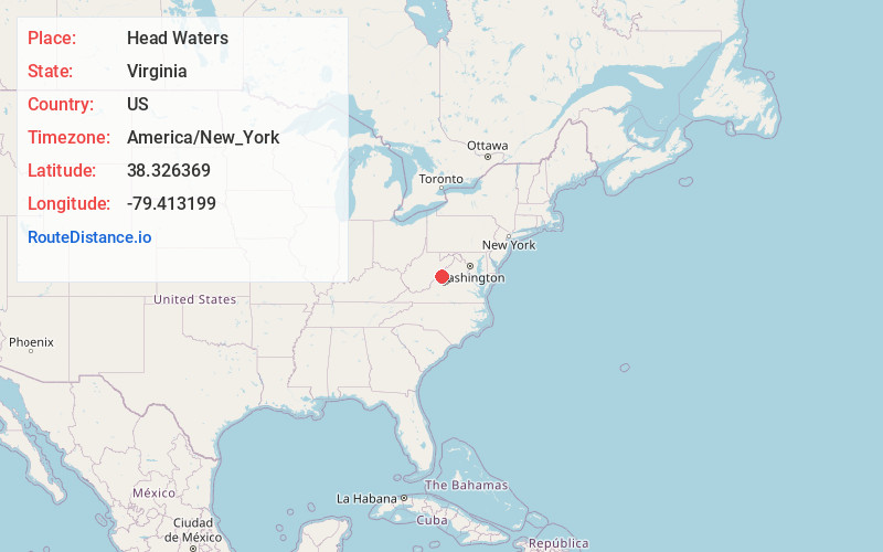
Full AddressHead Waters, VA 24485
-
Coordinates38.3263686, -79.413199
-
LocationHead Waters , Virginia , US
-
TimezoneAmerica/New_York
-
Current Local Time9:02:49 AM America/New_YorkMonday, June 23, 2025
-
Page Views0
About Head Waters
Head Waters is an unincorporated community in Highland County, Virginia, United States. Head Waters is located approximately 4.25 miles east of McDowell on US 250. The South Fork South Branch Potomac River rises north of Head Waters, hence the community's name. Head Waters has a post office with ZIP code 24442.
Nearby Places
Found 10 places within 50 miles

McDowell
4.2 mi
6.8 km
McDowell, VA 24458
Get directions

Sirons Mill
5.9 mi
9.5 km
Sirons Mill, VA 24433
Get directions

West Augusta
6.9 mi
11.1 km
West Augusta, VA 24485
Get directions
Palo Alto
7.1 mi
11.4 km
Palo Alto, VA 24485
Get directions
Doe Hill
7.5 mi
12.1 km
Doe Hill, VA 24433
Get directions
Clover Creek
8.3 mi
13.4 km
Clover Creek, VA 24458
Get directions
Patna
8.8 mi
14.2 km
Patna, VA 24487
Get directions

Deerfield
9.0 mi
14.5 km
Deerfield, VA 24432
Get directions
Little Baltimore
10.0 mi
16.1 km
Little Baltimore, VA 24432
Get directions

Monterey
10.8 mi
17.4 km
Monterey, VA 24465
Get directions
Location Links
Local Weather
Weather Information
Coming soon!
Location Map
Static map view of Head Waters, Virginia
Browse Places by Distance
Places within specific distances from Head Waters
Short Distances
Long Distances
Click any distance to see all places within that range from Head Waters. Distances shown in miles (1 mile ≈ 1.61 kilometers).