Distance to Helen, Georgia

Calculating Your Route
Just a moment while we process your request...
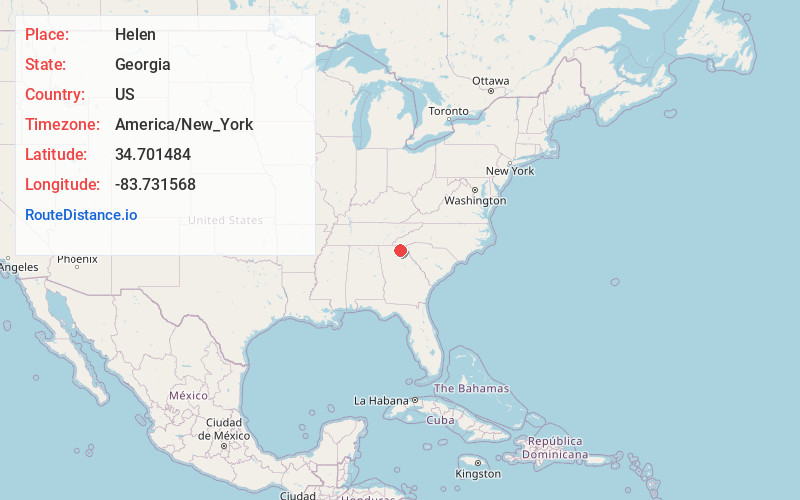
Location Information
-
Full AddressHelen, GA 30545
-
Coordinates34.7014839, -83.7315675
-
LocationHelen , Georgia , US
-
TimezoneAmerica/New_York
-
Current Local Time1:25:48 PM America/New_YorkTuesday, June 3, 2025
-
Page Views0
About Helen
Helen is a mountain town in northeast Georgia. It's known for its vineyards and Bavarian-style buildings. Unicoi State Park offers a lake and campsites. Trails run through the Chattahoochee National Forest to the Anna Ruby and Raven Cliff waterfalls. In Smithgall Woods State Park, Dukes Creek is known for trout. Hardman Farm State Historic Site includes an 1870 homestead and the Nacoochee Indian Mound burial site.


Nearby Places
Found 10 places within 50 miles

Yonah
4.4 mi
7.1 km
Yonah, GA 30528
Get directions

Cleveland
7.4 mi
11.9 km
Cleveland, GA 30528
Get directions

Clarkesville
13.3 mi
21.4 km
Clarkesville, GA 30523
Get directions

Demorest
14.2 mi
22.9 km
Demorest, GA 30535
Get directions

Clermont
15.6 mi
25.1 km
Clermont, GA 30527
Get directions

Hiawassee
17.2 mi
27.7 km
Hiawassee, GA 30546
Get directions

Young Harris
17.3 mi
27.8 km
Young Harris, GA 30582
Get directions

Cornelia
17.5 mi
28.2 km
Cornelia, GA
Get directions

Blairsville
17.6 mi
28.3 km
Blairsville, GA 30512
Get directions

Mt Airy
18.2 mi
29.3 km
Mt Airy, GA
Get directions
Location Links
Local Weather
Weather Information
Coming soon!
Location Map
Static map view of Helen, Georgia
Browse Places by Distance
Places within specific distances from Helen
Short Distances
Long Distances
Click any distance to see all places within that range from Helen. Distances shown in miles (1 mile ≈ 1.61 kilometers).