Distance to Yonah, Georgia

Calculating Your Route
Just a moment while we process your request...
Location Information
-
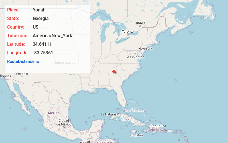
Full AddressYonah, GA 30528
-
Coordinates34.64111, -83.75361
-
LocationYonah , Georgia , US
-
TimezoneAmerica/New_York
-
Current Local Time7:35:15 PM America/New_YorkWednesday, July 2, 2025
-
Page Views2
About Yonah
Yonah is an unincorporated community and census-designated place in White County, Georgia, United States. It first appeared as a CDP in the 2010 census. Its population was 657 as of the 2020 census. Georgia State Route 75 passes through the community.
Nearby Places
Found 10 places within 50 miles

Cleveland
3.1 mi
5.0 km
Cleveland, GA 30528
Get directions

Clermont
11.3 mi
18.2 km
Clermont, GA 30527
Get directions

Demorest
13.0 mi
20.9 km
Demorest, GA 30535
Get directions

Clarkesville
13.2 mi
21.2 km
Clarkesville, GA 30523
Get directions

Dahlonega
15.3 mi
24.6 km
Dahlonega, GA 30533
Get directions

Raoul
15.5 mi
24.9 km
Raoul, GA 30510
Get directions

Cornelia
15.7 mi
25.3 km
Cornelia, GA
Get directions

Alto
15.8 mi
25.4 km
Alto, GA 30510
Get directions

Baldwin
16.1 mi
25.9 km
Baldwin, GA
Get directions

Mt Airy
16.7 mi
26.9 km
Mt Airy, GA
Get directions
Location Links
Local Weather
Weather Information
Coming soon!
Location Map
Static map view of Yonah, Georgia
Browse Places by Distance
Places within specific distances from Yonah
Short Distances
Long Distances
Click any distance to see all places within that range from Yonah. Distances shown in miles (1 mile ≈ 1.61 kilometers).