Distance to Clarkesville, Georgia

Calculating Your Route
Just a moment while we process your request...
Location Information
-
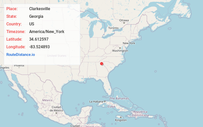
Full AddressClarkesville, GA 30523
-
Coordinates34.6125971, -83.5248933
-
LocationClarkesville , Georgia , US
-
TimezoneAmerica/New_York
-
Current Local Time12:35:34 PM America/New_YorkThursday, June 19, 2025
-
Page Views0
About Clarkesville
Clarkesville is a city that is the county seat of Habersham County, Georgia, United States. As of the 2020 census, it had a population of 1,911, up from the 2010 census population of 1,733, up from 1,248 at the 2000 census.


Nearby Places
Found 10 places within 50 miles

Demorest
3.5 mi
5.6 km
Demorest, GA 30535
Get directions

Cornelia
7.0 mi
11.3 km
Cornelia, GA
Get directions

Baldwin
8.4 mi
13.5 km
Baldwin, GA
Get directions

Toccoa
11.2 mi
18.0 km
Toccoa, GA
Get directions

Raoul
11.5 mi
18.5 km
Raoul, GA 30510
Get directions

Cleveland
13.6 mi
21.9 km
Cleveland, GA 30528
Get directions

Lula
17.5 mi
28.2 km
Lula, GA
Get directions

Clayton
19.7 mi
31.7 km
Clayton, GA 30525
Get directions

Westminster
24.6 mi
39.6 km
Westminster, SC 29693
Get directions
Gumlog
25.2 mi
40.6 km
Gumlog, GA
Get directions
Location Links
Local Weather
Weather Information
Coming soon!
Location Map
Static map view of Clarkesville, Georgia
Browse Places by Distance
Places within specific distances from Clarkesville
Short Distances
Long Distances
Click any distance to see all places within that range from Clarkesville. Distances shown in miles (1 mile ≈ 1.61 kilometers).