Distance to Hickory Rock, North Carolina

Calculating Your Route
Just a moment while we process your request...
Location Information
-
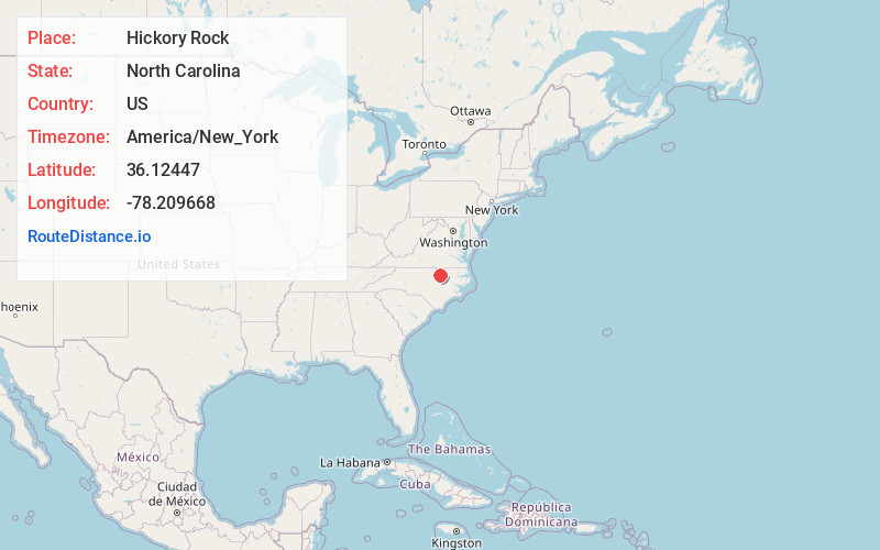
Full AddressHickory Rock, NC 27549
-
Coordinates36.12447, -78.2096682
-
LocationNorth Carolina , US
-
TimezoneAmerica/New_York
-
Current Local Time5:33:23 AM America/New_YorkWednesday, June 18, 2025
-
Page Views0
Nearby Places
Found 10 places within 50 miles

Stallings Crossroads
3.3 mi
5.3 km
Stallings Crossroads, NC 27549
Get directions
Mapleville
3.5 mi
5.6 km
Mapleville, NC 27549
Get directions
Moulton
4.0 mi
6.4 km
Moulton, NC 27549
Get directions
Gold Sand
5.1 mi
8.2 km
Gold Sand, NC 27549
Get directions

Louisburg
5.4 mi
8.7 km
Louisburg, NC 27549
Get directions
Gupton
5.7 mi
9.2 km
Gupton, NC 27549
Get directions
Centerville
7.2 mi
11.6 km
Centerville, NC 27549
Get directions
Kearney
7.8 mi
12.6 km
Kearney, NC 27549
Get directions
Lancaster Crossroads
8.3 mi
13.4 km
Lancaster Crossroads, NC 27816
Get directions
Castalia
9.0 mi
14.5 km
Castalia, NC 27816
Get directions
Location Links
Local Weather
Weather Information
Coming soon!
Location Map
Static map view of Hickory Rock, North Carolina
Browse Places by Distance
Places within specific distances from Hickory Rock
Short Distances
Long Distances
Click any distance to see all places within that range from Hickory Rock. Distances shown in miles (1 mile ≈ 1.61 kilometers).