Distance to and from Mapleville, North Carolina
Mapleville, NC 27549
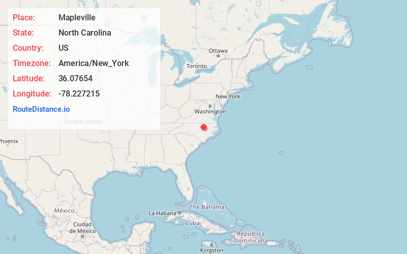
North Carolina
US
America/New_York
Location Information
-
Full AddressMapleville, NC 27549
-
Coordinates36.07654, -78.2272152
-
LocationNorth Carolina , US
-
TimezoneAmerica/New_York
-
Current Local Time4:45:19 PM America/New_YorkSaturday, May 3, 2025
-
Page Views0
Directions to Nearest Cities
Nearby Places
Found 10 places within 50 miles

Stallings Crossroads
3.7 mi
6.0 km
Stallings Crossroads, NC 27549
Get directions

Louisburg
4.4 mi
7.1 km
Louisburg, NC 27549
Get directions
Raynor
5.7 mi
9.2 km
Raynor, NC 27549
Get directions
Moulton
6.7 mi
10.8 km
Moulton, NC 27549
Get directions

Lake Royale
7.8 mi
12.6 km
Lake Royale, NC
Get directions

Bunn
8.1 mi
13.0 km
Bunn, NC 27508
Get directions
Lancaster Crossroads
8.1 mi
13.0 km
Lancaster Crossroads, NC 27816
Get directions
Royal
8.5 mi
13.7 km
Royal, NC 27549
Get directions
Gold Sand
8.6 mi
13.8 km
Gold Sand, NC 27549
Get directions
Gupton
9.1 mi
14.6 km
Gupton, NC 27549
Get directions
Stallings Crossroads
3.7 mi
6.0 km
Stallings Crossroads, NC 27549
Louisburg
4.4 mi
7.1 km
Louisburg, NC 27549
Raynor
5.7 mi
9.2 km
Raynor, NC 27549
Moulton
6.7 mi
10.8 km
Moulton, NC 27549
Lake Royale
7.8 mi
12.6 km
Lake Royale, NC
Bunn
8.1 mi
13.0 km
Bunn, NC 27508
Lancaster Crossroads
8.1 mi
13.0 km
Lancaster Crossroads, NC 27816
Royal
8.5 mi
13.7 km
Royal, NC 27549
Gold Sand
8.6 mi
13.8 km
Gold Sand, NC 27549
Gupton
9.1 mi
14.6 km
Gupton, NC 27549
Location Links
Local Weather
Weather Information
Coming soon!
Location Map
Static map view of Mapleville, North Carolina
Browse Places by Distance
Places within specific distances from Mapleville
Short Distances
Long Distances
Click any distance to see all places within that range from Mapleville. Distances shown in miles (1 mile ≈ 1.61 kilometers).