Distance to Hilltop, Arizona

Calculating Your Route
Just a moment while we process your request...
Location Information
-
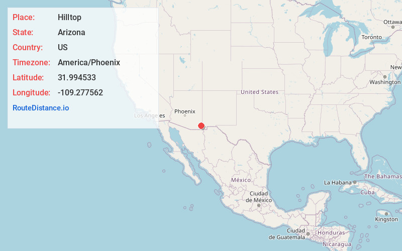
Full AddressHilltop, AZ 85632
-
Coordinates31.9945331, -109.2775617
-
LocationHilltop , Arizona , US
-
TimezoneAmerica/Phoenix
-
Current Local Time1:44:08 PM America/PhoenixFriday, May 23, 2025
-
Page Views0
About Hilltop
Hilltop is a ghost town situated in Cochise County, Arizona, United States. Hilltop was established in the 1880s and was a successful mining town in the 1900s. Their economy declined steadily until the 1940s when it became a ghost town. The Hilltop Post office was erected on June 26, 1920, serving the local community.
Nearby Places
Found 10 places within 50 miles

Portal
9.7 mi
15.6 km
Portal, AZ 85632
Get directions

San Simon
19.1 mi
30.7 km
San Simon, AZ 85632
Get directions

Dos Cabezas
23.3 mi
37.5 km
Dos Cabezas, AZ 85643
Get directions

Steins
23.4 mi
37.7 km
Steins, NM 88045
Get directions

Sunizona
23.5 mi
37.8 km
Sunizona, AZ 85625
Get directions
McGhee Wells
23.9 mi
38.5 km
McGhee Wells, NM 88020
Get directions
Cotton City
24.2 mi
38.9 km
Cotton City, NM 88020
Get directions

Roadforks
24.8 mi
39.9 km
Roadforks, NM 88020
Get directions
Yellow Hammer Mill
25.5 mi
41.0 km
Yellow Hammer Mill, AZ 85632
Get directions

Bowie
26.0 mi
41.8 km
Bowie, AZ 85605
Get directions
Location Links
Local Weather
Weather Information
Coming soon!
Location Map
Static map view of Hilltop, Arizona
Browse Places by Distance
Places within specific distances from Hilltop
Short Distances
Long Distances
Click any distance to see all places within that range from Hilltop. Distances shown in miles (1 mile ≈ 1.61 kilometers).