Distance to Holland, Wisconsin

Calculating Your Route
Just a moment while we process your request...
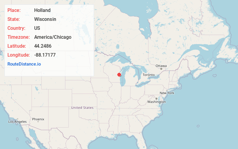
Location Information
-
Full AddressHolland, WI 54130
-
Coordinates44.2486003, -88.1717702
-
LocationHolland , Wisconsin , US
-
TimezoneAmerica/Chicago
-
Current Local Time11:51:32 PM America/ChicagoFriday, June 20, 2025
-
Page Views0
About Holland
Holland is a town in Brown County in the U.S. state of Wisconsin. The population was 1,519 at the 2010 census. The unincorporated communities of Askeaton and Hollandtown are located in the town.
Nearby Places
Found 10 places within 50 miles

Forest Junction
2.8 mi
4.5 km
Forest Junction, WI
Get directions

Wrightstown
5.4 mi
8.7 km
Wrightstown, WI
Get directions

Kaukauna
5.4 mi
8.7 km
Kaukauna, WI 54130
Get directions

Greenleaf
5.9 mi
9.5 km
Greenleaf, WI 54126
Get directions

Sherwood
6.8 mi
10.9 km
Sherwood, WI
Get directions
Combined Locks
7.2 mi
11.6 km
Combined Locks, WI
Get directions
Sniderville
7.2 mi
11.6 km
Sniderville, Wrightstown, WI 54130
Get directions

Brillion
7.3 mi
11.7 km
Brillion, WI 54110
Get directions

Hilbert
7.5 mi
12.1 km
Hilbert, WI 54129
Get directions
Darboy
7.5 mi
12.1 km
Darboy, Harrison, WI 54915
Get directions
Location Links
Local Weather
Weather Information
Coming soon!
Location Map
Static map view of Holland, Wisconsin
Browse Places by Distance
Places within specific distances from Holland
Short Distances
Long Distances
Click any distance to see all places within that range from Holland. Distances shown in miles (1 mile ≈ 1.61 kilometers).