Distance to Hollytree, Alabama

Calculating Your Route
Just a moment while we process your request...
Location Information
-
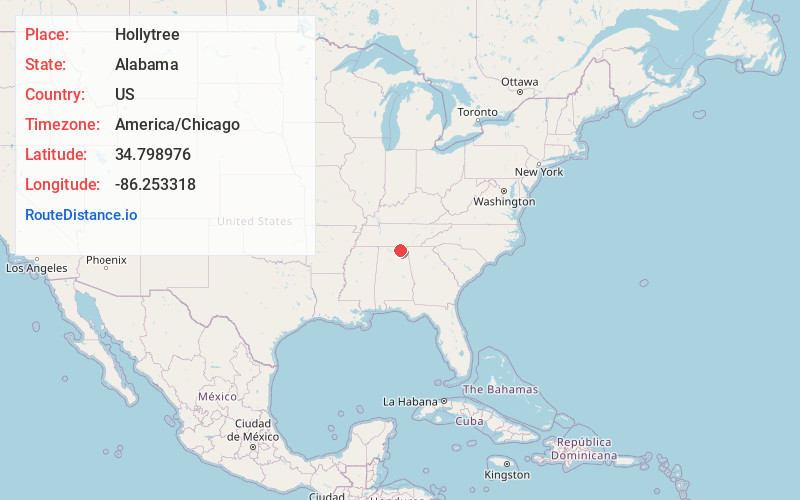
Full AddressHollytree, AL 35751
-
Coordinates34.798976, -86.2533183
-
LocationHollytree , Alabama , US
-
TimezoneAmerica/Chicago
-
Current Local Time5:20:02 AM America/ChicagoSaturday, May 31, 2025
-
Page Views0
About Hollytree
Hollytree is an unincorporated community in Jackson County, Alabama, United States. It is located on Alabama State Route 65, 9.7 miles northeast of Gurley in the Paint Rock Valley. Hollytree has a post office with ZIP code 35751.
Nearby Places
Found 10 places within 50 miles

Princeton
3.1 mi
5.0 km
Princeton, AL
Get directions
Little Nashville
3.4 mi
5.5 km
Little Nashville, AL 35774
Get directions
Trenton
3.7 mi
6.0 km
Trenton, AL 35774
Get directions
Pleasant Groves
5.1 mi
8.2 km
Pleasant Groves, AL 35776
Get directions
Garth
5.8 mi
9.3 km
Garth, AL 35764
Get directions
Baileytown
6.3 mi
10.1 km
Baileytown, AL 35768
Get directions
Wininger
6.6 mi
10.6 km
Wininger, AL 35776
Get directions

Skyline
7.9 mi
12.7 km
Skyline, AL
Get directions
Greenfield
9.2 mi
14.8 km
Greenfield, AL 35748
Get directions
St Clair Store
9.4 mi
15.1 km
St Clair Store, AL 35748
Get directions
Location Links
Local Weather
Weather Information
Coming soon!
Location Map
Static map view of Hollytree, Alabama
Browse Places by Distance
Places within specific distances from Hollytree
Short Distances
Long Distances
Click any distance to see all places within that range from Hollytree. Distances shown in miles (1 mile ≈ 1.61 kilometers).