Distance to Holman, Arkansas

Calculating Your Route
Just a moment while we process your request...
Location Information
-
Full AddressHolman, AR 72846
-
Coordinates35.4845265, -93.3110121
-
LocationHolman , Arkansas , US
-
TimezoneAmerica/Chicago
-
Current Local Time5:10:43 AM America/ChicagoSunday, June 1, 2025
-
Page Views0
Nearby Places
Found 10 places within 50 miles

Hagarville
2.3 mi
3.7 km
Hagarville, AR
Get directions

Lamar
5.2 mi
8.4 km
Lamar, AR
Get directions

Hickeytown
5.5 mi
8.9 km
Hickeytown, AR 72847
Get directions

Knoxville
7.7 mi
12.4 km
Knoxville, AR
Get directions

Clarksville
8.9 mi
14.3 km
Clarksville, AR 72830
Get directions

London
11.1 mi
17.9 km
London, AR
Get directions

Spadra
11.1 mi
17.9 km
Spadra, AR 72830
Get directions
New Spadra
12.4 mi
20.0 km
New Spadra, AR 72830
Get directions

Dover
12.5 mi
20.1 km
Dover, AR
Get directions
Delaware
13.9 mi
22.4 km
Delaware, AR 72835
Get directions
Location Links
Local Weather
Weather Information
Coming soon!
Location Map
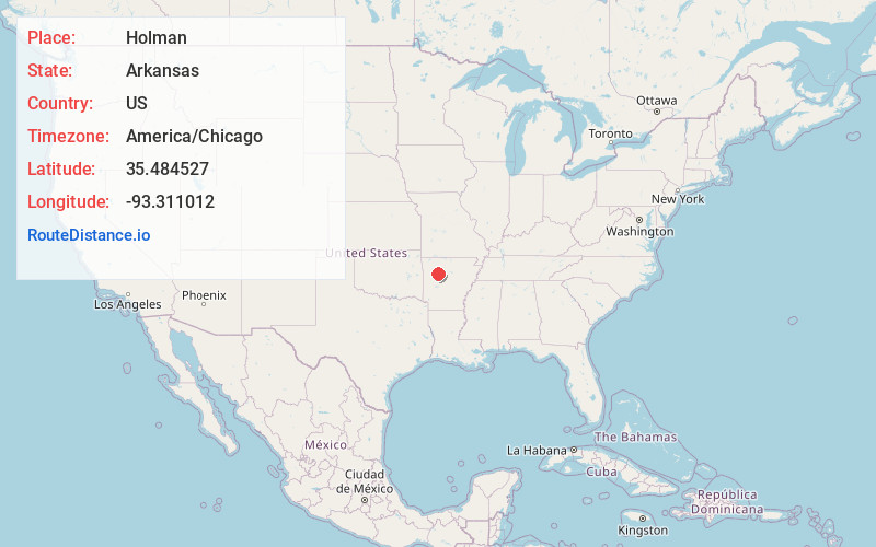
Static map view of Holman, Arkansas
Browse Places by Distance
Places within specific distances from Holman
Short Distances
Long Distances
Click any distance to see all places within that range from Holman. Distances shown in miles (1 mile ≈ 1.61 kilometers).