Distance to Honey Creek Township, Indiana

Calculating Your Route
Just a moment while we process your request...
Location Information
-
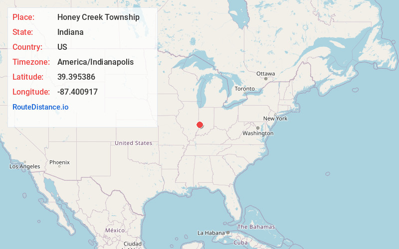
Full AddressHoney Creek Township, IN 47802
-
Coordinates39.3953855, -87.4009165
-
LocationHoney Creek Township , Indiana , US
-
TimezoneAmerica/Indianapolis
-
Page Views0
About Honey Creek Township
Honey Creek Township is one of twelve townships in Vigo County, Indiana, United States. As of the 2010 census, its population was 17,179 and it contained 6,509 housing units.
Nearby Places
Found 10 places within 50 miles

Allendale
0.4 mi
0.6 km
Allendale, IN 47802
Get directions
Southwood
0.5 mi
0.8 km
Southwood, IN 47802
Get directions
Woodgate
1.1 mi
1.8 km
Woodgate, IN 47802
Get directions

Vigo County
1.8 mi
2.9 km
Vigo County, IN
Get directions
Youngstown
2.5 mi
4.0 km
Youngstown, IN 47802
Get directions
Keller
4.8 mi
7.7 km
Keller, IN 47802
Get directions

Terre Haute
4.9 mi
7.9 km
Terre Haute, IN
Get directions
Prairieton Township
5.0 mi
8.0 km
Prairieton Township, IN 47802
Get directions

Riley
5.4 mi
8.7 km
Riley, IN
Get directions

Riley Township
5.4 mi
8.7 km
Riley Township, IN
Get directions
Location Links
Local Weather
Weather Information
Coming soon!
Location Map
Static map view of Honey Creek Township, Indiana
Browse Places by Distance
Places within specific distances from Honey Creek Township
Short Distances
Long Distances
Click any distance to see all places within that range from Honey Creek Township. Distances shown in miles (1 mile ≈ 1.61 kilometers).