Distance to Honey Island, Mississippi

Calculating Your Route
Just a moment while we process your request...
Location Information
-
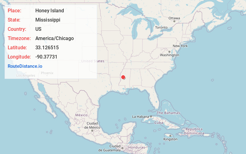
Full AddressHoney Island, MS 39038
-
Coordinates33.1265151, -90.3773104
-
LocationMississippi , US
-
TimezoneAmerica/Chicago
-
Current Local Time12:18:05 AM America/ChicagoFriday, June 20, 2025
-
Page Views0
Nearby Places
Found 10 places within 50 miles

Quofaloma
2.3 mi
3.7 km
Quofaloma, MS 39169
Get directions
Thornton
4.5 mi
7.2 km
Thornton, MS 39169
Get directions
Silver City
7.2 mi
11.6 km
Silver City, MS
Get directions

Belzoni
7.6 mi
12.2 km
Belzoni, MS 39038
Get directions
Famosla
7.8 mi
12.6 km
Famosla, MS 39038
Get directions
Shackleford
8.3 mi
13.4 km
Shackleford, MS 39169
Get directions

Tchula
9.7 mi
15.6 km
Tchula, MS 39169
Get directions
Castleman
9.8 mi
15.8 km
Castleman, MS 39038
Get directions
Eden
10.3 mi
16.6 km
Eden, MS 39194
Get directions
Jaketown
10.4 mi
16.7 km
Jaketown, MS 39038
Get directions
Location Links
Local Weather
Weather Information
Coming soon!
Location Map
Static map view of Honey Island, Mississippi
Browse Places by Distance
Places within specific distances from Honey Island
Short Distances
Long Distances
Click any distance to see all places within that range from Honey Island. Distances shown in miles (1 mile ≈ 1.61 kilometers).