Distance to Honeydew, California

Calculating Your Route
Just a moment while we process your request...
Location Information
-
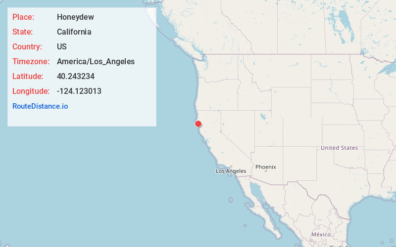
Full AddressHoneydew, CA
-
Coordinates40.2432341, -124.1230133
-
LocationHoneydew , California , US
-
TimezoneAmerica/Los_Angeles
-
Current Local Time8:10:08 PM America/Los_AngelesWednesday, July 2, 2025
-
Page Views0
About Honeydew
Honeydew is an unincorporated community in Humboldt County, California. It is located 17 miles south of Scotia at an elevation of 322 feet, on the Lost Coast of the Pacific Ocean, near the King Range mountains. There are a general store, elementary school, post office, and a few houses nearby.


Nearby Places
Found 10 places within 50 miles

Bull Creek
8.2 mi
13.2 km
Bull Creek, CA 95545
Get directions

Ettersburg
9.9 mi
15.9 km
Ettersburg, CA 95542
Get directions

Petrolia
10.3 mi
16.6 km
Petrolia, CA 95536
Get directions

Weott
11.9 mi
19.2 km
Weott, CA 95571
Get directions
Burlington
12.1 mi
19.5 km
Burlington, CA 95554
Get directions

Myers Flat
13.4 mi
21.6 km
Myers Flat, CA 95554
Get directions

Redcrest
14.2 mi
22.9 km
Redcrest, CA 95569
Get directions

Shelter Cove
14.7 mi
23.7 km
Shelter Cove, CA 95589
Get directions
Stafford
15.0 mi
24.1 km
Stafford, CA 95565
Get directions

Briceland
15.0 mi
24.1 km
Briceland, CA 95542
Get directions
Location Links
Local Weather
Weather Information
Coming soon!
Location Map
Static map view of Honeydew, California
Browse Places by Distance
Places within specific distances from Honeydew
Short Distances
Long Distances
Click any distance to see all places within that range from Honeydew. Distances shown in miles (1 mile ≈ 1.61 kilometers).