Distance to Hopewell, Oklahoma

Calculating Your Route
Just a moment while we process your request...
Location Information
-
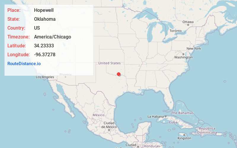
Full AddressHopewell, OK 74729
-
Coordinates34.23333, -96.37278
-
LocationHopewell , Oklahoma , US
-
TimezoneAmerica/Chicago
-
Current Local Time12:32:58 AM America/ChicagoThursday, June 19, 2025
-
Page Views0
About Hopewell
Hopewell is an unincorporated community in Atoka County, Oklahoma, United States. It lies at an elevation of 722 feet.
Nearby Places
Found 10 places within 50 miles

Coleman
3.7 mi
6.0 km
Coleman, OK
Get directions

Kenefic
5.9 mi
9.5 km
Kenefic, OK 74748
Get directions
Fillmore
7.6 mi
12.2 km
Fillmore, OK 73432
Get directions

Caney
9.1 mi
14.6 km
Caney, OK
Get directions

Caddo
9.7 mi
15.6 km
Caddo, OK 74729
Get directions
Taloah
9.9 mi
15.9 km
Taloah, OK 74525
Get directions
Emet
9.9 mi
15.9 km
Emet, OK 73450
Get directions
Milburn
10.1 mi
16.3 km
Milburn, OK 73450
Get directions

Wapanucka
10.2 mi
16.4 km
Wapanucka, OK 73461
Get directions
Wasseta
11.2 mi
18.0 km
Wasseta, OK 74701
Get directions
Location Links
Local Weather
Weather Information
Coming soon!
Location Map
Static map view of Hopewell, Oklahoma
Browse Places by Distance
Places within specific distances from Hopewell
Short Distances
Long Distances
Click any distance to see all places within that range from Hopewell. Distances shown in miles (1 mile ≈ 1.61 kilometers).