Distance to Houghton, Iowa

Calculating Your Route
Just a moment while we process your request...
Location Information
-
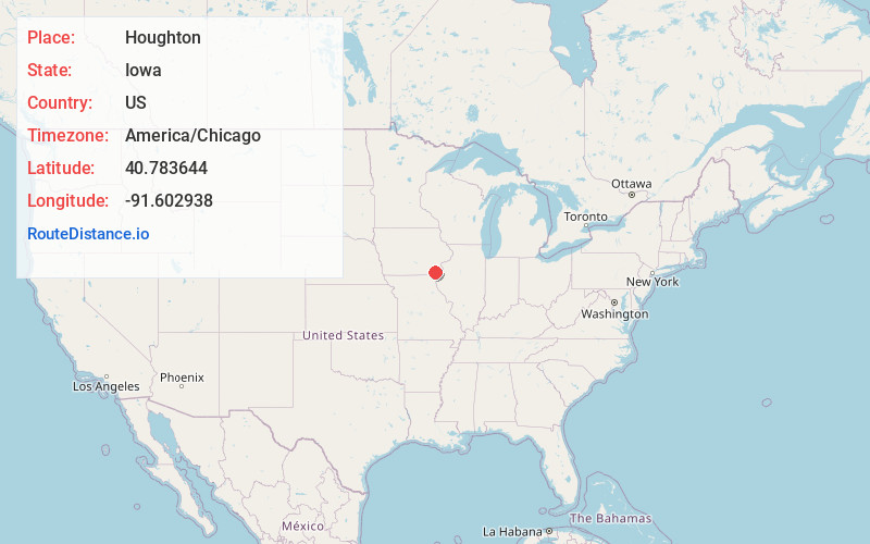
Full AddressHoughton, IA 52625
-
Coordinates40.7836439, -91.6029375
-
LocationHoughton , Iowa , US
-
TimezoneAmerica/Chicago
-
Current Local Time7:30:49 AM America/ChicagoSaturday, June 7, 2025
-
Page Views0
About Houghton
Houghton is a city in Lee County, Iowa, United States. The population was 141 at the 2020 census. It is part of the Fort Madison-Keokuk Micropolitan Statistical Area.
Nearby Places
Found 10 places within 50 miles

Salem
4.9 mi
7.9 km
Salem, IA 52649
Get directions

Hillsboro
6.9 mi
11.1 km
Hillsboro, IA 52630
Get directions

West Point
9.2 mi
14.8 km
West Point, IA 52656
Get directions
Franklin
9.3 mi
15.0 km
Franklin, IA
Get directions

Donnellson
9.9 mi
15.9 km
Donnellson, IA 52625
Get directions

Bonaparte
12.0 mi
19.3 km
Bonaparte, IA 52620
Get directions
Farmington
12.3 mi
19.8 km
Farmington, IA 52626
Get directions
Westwood
12.6 mi
20.3 km
Westwood, IA 52641
Get directions
Stockport
13.2 mi
21.2 km
Stockport, IA 52651
Get directions

Mt Pleasant
13.3 mi
21.4 km
Mt Pleasant, IA 52641
Get directions
Location Links
Local Weather
Weather Information
Coming soon!
Location Map
Static map view of Houghton, Iowa
Browse Places by Distance
Places within specific distances from Houghton
Short Distances
Long Distances
Click any distance to see all places within that range from Houghton. Distances shown in miles (1 mile ≈ 1.61 kilometers).