Distance to Hovey, Indiana

Calculating Your Route
Just a moment while we process your request...
Location Information
-
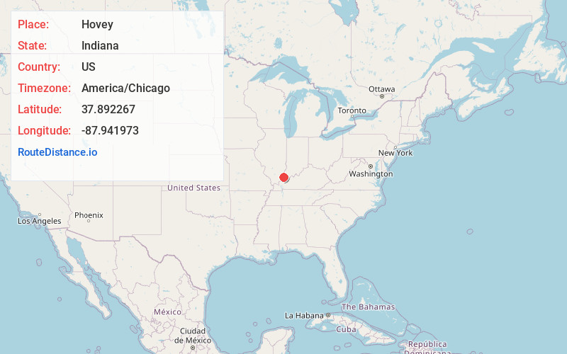
Full AddressHovey, Point Township, IN 47620
-
Coordinates37.8922666, -87.9419725
-
LocationPoint Township , Indiana , US
-
TimezoneAmerica/Chicago
-
Current Local Time9:01:20 AM America/ChicagoTuesday, June 24, 2025
-
Page Views0
Nearby Places
Found 10 places within 50 miles

Mt Vernon
3.8 mi
6.1 km
Mt Vernon, IN 47620
Get directions

Uniontown
8.1 mi
13.0 km
Uniontown, KY 42461
Get directions

Rising Sun
8.8 mi
14.2 km
Rising Sun, IL 62821
Get directions

New Haven
10.3 mi
16.6 km
New Haven, IL 62867
Get directions
Maunie
11.4 mi
18.3 km
Maunie, IL
Get directions
Waverly
14.4 mi
23.2 km
Waverly, KY 42462
Get directions

Morganfield
14.5 mi
23.3 km
Morganfield, KY 42437
Get directions
King Mills
14.9 mi
24.0 km
King Mills, KY 42462
Get directions
Jonesburg
16.0 mi
25.7 km
Jonesburg, KY 42406
Get directions

Parkers Settlement
16.3 mi
26.2 km
Parkers Settlement, IN
Get directions
Location Links
Local Weather
Weather Information
Coming soon!
Location Map
Static map view of Hovey, Indiana
Browse Places by Distance
Places within specific distances from Hovey
Short Distances
Long Distances
Click any distance to see all places within that range from Hovey. Distances shown in miles (1 mile ≈ 1.61 kilometers).