Distance to Hoving, North Dakota

Calculating Your Route
Just a moment while we process your request...
Location Information
-
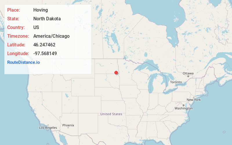
Full AddressHoving, ND 58060
-
Coordinates46.2474616, -97.5681487
-
LocationHoving , North Dakota , US
-
TimezoneAmerica/Chicago
-
Current Local Time10:55:49 AM America/ChicagoSaturday, June 21, 2025
-
Page Views0
Nearby Places
Found 10 places within 50 miles

Gwinner
4.8 mi
7.7 km
Gwinner, ND
Get directions

Milnor
5.4 mi
8.7 km
Milnor, ND 58060
Get directions
Forman
10.2 mi
16.4 km
Forman, ND 58032
Get directions
De Lamere
11.2 mi
18.0 km
De Lamere, ND 58060
Get directions
Stirum
11.7 mi
18.8 km
Stirum, ND 58069
Get directions

Rutland
13.7 mi
22.0 km
Rutland, ND 58067
Get directions

Cogswell
14.1 mi
22.7 km
Cogswell, ND 58017
Get directions

Lisbon
14.5 mi
23.3 km
Lisbon, ND 58054
Get directions
Hamlin
14.7 mi
23.7 km
Hamlin, ND 58053
Get directions

Cayuga
14.9 mi
24.0 km
Cayuga, ND 58013
Get directions
Location Links
Local Weather
Weather Information
Coming soon!
Location Map
Static map view of Hoving, North Dakota
Browse Places by Distance
Places within specific distances from Hoving
Short Distances
Long Distances
Click any distance to see all places within that range from Hoving. Distances shown in miles (1 mile ≈ 1.61 kilometers).