Distance to Hudson, Ohio

Calculating Your Route
Just a moment while we process your request...
Location Information
-
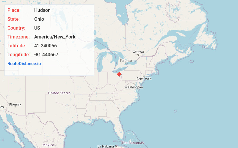
Full AddressHudson, OH
-
Coordinates41.240056, -81.440667
-
LocationHudson , Ohio , US
-
TimezoneAmerica/New_York
-
Current Local Time7:10:21 PM America/New_YorkWednesday, June 4, 2025
-
Website
-
Page Views0
About Hudson
Hudson is a city in northern Summit County, Ohio, United States. The population was 23,110 at the 2020 census. It is a suburban community in the Akron metropolitan area. John Brown made his first public vow to destroy slavery here and the city later became part of the Underground Railroad.


Nearby Places
Found 10 places within 50 miles

Stow
5.6 mi
9.0 km
Stow, OH
Get directions

Kent
7.4 mi
11.9 km
Kent, OH
Get directions

Cuyahoga Falls
7.7 mi
12.4 km
Cuyahoga Falls, OH
Get directions

Akron
11.7 mi
18.8 km
Akron, OH
Get directions

Garfield Heights
14.9 mi
24.0 km
Garfield Heights, OH
Get directions

North Royalton
15.6 mi
25.1 km
North Royalton, OH 44133
Get directions

Shaker Heights
16.9 mi
27.2 km
Shaker Heights, OH
Get directions

Barberton
17.9 mi
28.8 km
Barberton, OH 44203
Get directions

Parma
18.5 mi
29.8 km
Parma, OH
Get directions

Cleveland Heights
20.3 mi
32.7 km
Cleveland Heights, OH
Get directions
Location Links
Local Weather
Weather Information
Coming soon!
Location Map
Static map view of Hudson, Ohio
Browse Places by Distance
Places within specific distances from Hudson
Short Distances
Long Distances
Click any distance to see all places within that range from Hudson. Distances shown in miles (1 mile ≈ 1.61 kilometers).