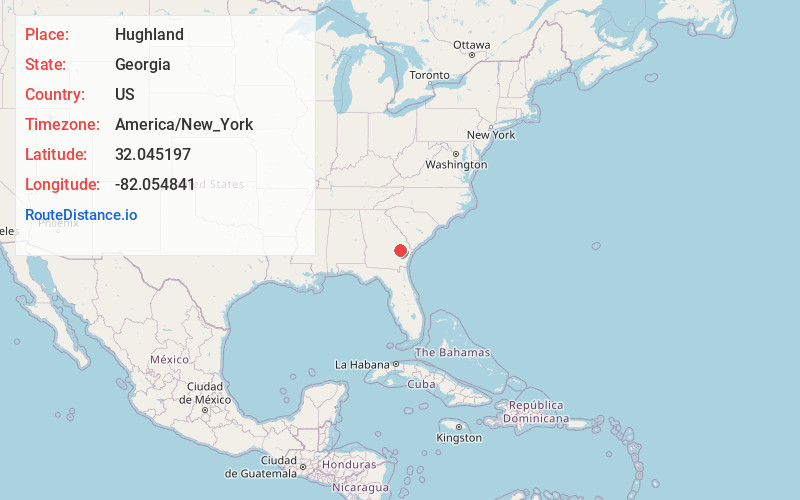
Distance to Hughland, Georgia

Calculating Your Route
Just a moment while we process your request...
Location Information
-
Full AddressHughland, GA 30453
-
Coordinates32.0451967, -82.0548413
-
LocationGeorgia , US
-
TimezoneAmerica/New_York
-
Current Local Time2:04:32 AM America/New_YorkFriday, June 20, 2025
-
Page Views0
Nearby Places
Found 10 places within 50 miles

Reidsville
4.7 mi
7.6 km
Reidsville, GA
Get directions

Mendes
5.7 mi
9.2 km
Mendes, GA 30427
Get directions

Manassas
8.2 mi
13.2 km
Manassas, GA
Get directions
Bellville
8.8 mi
14.2 km
Bellville, GA 30417
Get directions

Collins
9.9 mi
15.9 km
Collins, GA 30421
Get directions

Hagan
10.5 mi
16.9 km
Hagan, GA 30417
Get directions

Glennville
10.5 mi
16.9 km
Glennville, GA 30427
Get directions
New Branch
11.8 mi
19.0 km
New Branch, GA 30436
Get directions

Claxton
11.9 mi
19.2 km
Claxton, GA 30417
Get directions
Eason Bluff
12.5 mi
20.1 km
Eason Bluff, GA 31513
Get directions
Location Links
Local Weather
Weather Information
Coming soon!
Location Map
Static map view of Hughland, Georgia
Browse Places by Distance
Places within specific distances from Hughland
Short Distances
Long Distances
Click any distance to see all places within that range from Hughland. Distances shown in miles (1 mile ≈ 1.61 kilometers).