Distance to Hurleton, California

Calculating Your Route
Just a moment while we process your request...
Location Information
-
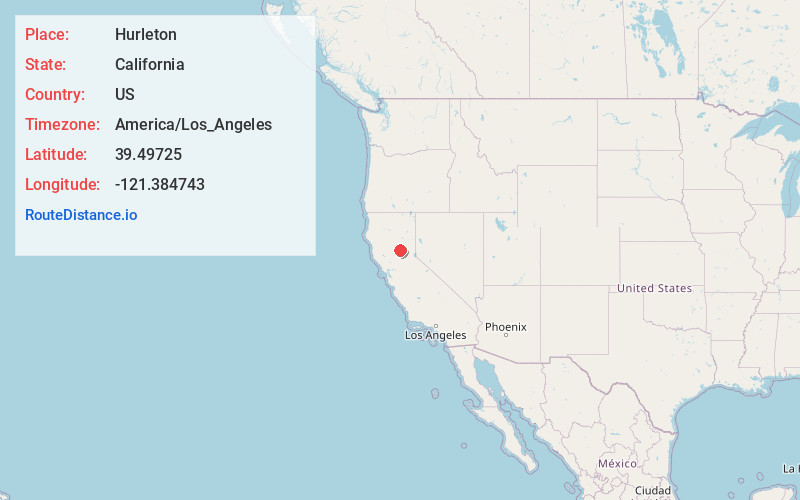
Full AddressHurleton, CA 95966
-
Coordinates39.49725, -121.384743
-
LocationHurleton , California , US
-
TimezoneAmerica/Los_Angeles
-
Current Local Time12:30:37 AM America/Los_AngelesMonday, June 30, 2025
-
Page Views0
About Hurleton
Hurleton is an unincorporated community in Butte County, California. It is located 7.5 miles north of Bangor. It lies at an elevation of 1598 feet.
In August 2013, the town was threatened by a large brush fire forcing some evacuations.
Nearby Places
Found 10 places within 50 miles

Robinson Mill
3.5 mi
5.6 km
Robinson Mill, CA
Get directions

Oroville East
4.6 mi
7.4 km
Oroville East, CA 95966
Get directions
Rackerby
4.6 mi
7.4 km
Rackerby, CA 95914
Get directions
Kelly Ridge
4.7 mi
7.6 km
Kelly Ridge, CA 95966
Get directions

Challenge-Brownsville
5.9 mi
9.5 km
Challenge-Brownsville, CA
Get directions

Forbestown
6.4 mi
10.3 km
Forbestown, CA
Get directions

Bangor
7.6 mi
12.2 km
Bangor, CA
Get directions

South Oroville
8.5 mi
13.7 km
South Oroville, CA 95966
Get directions

Palermo
9.2 mi
14.8 km
Palermo, CA
Get directions

Oroville
9.3 mi
15.0 km
Oroville, CA
Get directions
Location Links
Local Weather
Weather Information
Coming soon!
Location Map
Static map view of Hurleton, California
Browse Places by Distance
Places within specific distances from Hurleton
Short Distances
Long Distances
Click any distance to see all places within that range from Hurleton. Distances shown in miles (1 mile ≈ 1.61 kilometers).