Distance to Ingalls, Oklahoma

Calculating Your Route
Just a moment while we process your request...
Location Information
-
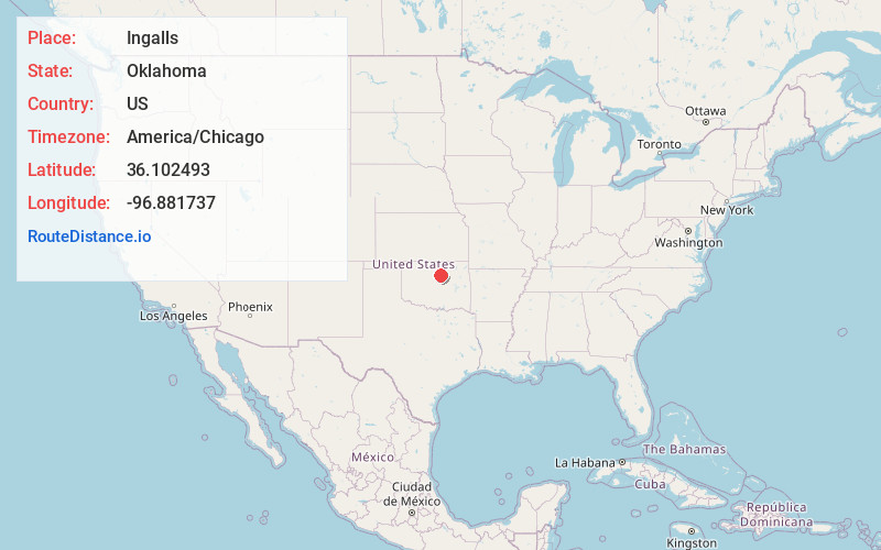
Full AddressIngalls, OK
-
Coordinates36.102493, -96.881737
-
LocationIngalls , Oklahoma , US
-
TimezoneAmerica/Chicago
-
Current Local Time7:43:06 PM America/ChicagoWednesday, July 2, 2025
-
Page Views0
About Ingalls
Ingalls is a census-designated place in eastern Payne County, Oklahoma, about 9 miles east of Stillwater. The town was settled as a result of the "Unassigned Lands" land run in 1889, and had a post office from January 22, 1890, until October 31, 1907.
Nearby Places
Found 10 places within 50 miles

Ripley
6.0 mi
9.7 km
Ripley, OK 74062
Get directions

Glencoe
9.1 mi
14.6 km
Glencoe, OK 74032
Get directions

Stillwater
9.9 mi
15.9 km
Stillwater, OK
Get directions

Yale
10.2 mi
16.4 km
Yale, OK 74085
Get directions

Cushing
10.3 mi
16.6 km
Cushing, OK 74023
Get directions

Perkins
12.3 mi
19.8 km
Perkins, OK 74059
Get directions

Agra
14.4 mi
23.2 km
Agra, OK 74824
Get directions
Morrison
15.2 mi
24.5 km
Morrison, OK 73061
Get directions

Oilton
16.7 mi
26.9 km
Oilton, OK
Get directions

Tryon
16.7 mi
26.9 km
Tryon, OK 74875
Get directions
Location Links
Local Weather
Weather Information
Coming soon!
Location Map
Static map view of Ingalls, Oklahoma
Browse Places by Distance
Places within specific distances from Ingalls
Short Distances
Long Distances
Click any distance to see all places within that range from Ingalls. Distances shown in miles (1 mile ≈ 1.61 kilometers).