Distance to Ink, Arkansas

Calculating Your Route
Just a moment while we process your request...
Location Information
-
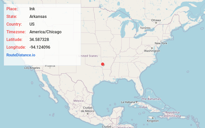
Full AddressInk, AR 71953
-
Coordinates34.5873278, -94.1240958
-
LocationInk , Arkansas , US
-
TimezoneAmerica/Chicago
-
Current Local Time4:24:41 AM America/ChicagoWednesday, June 18, 2025
-
Page Views0
About Ink
Ink is an unincorporated community in Polk County, Arkansas, United States. The elevation of Ink is 1033 feet.
A popular and apocryphal story of how the town got its name in 1887 is one based on a misunderstanding.
Nearby Places
Found 10 places within 50 miles

Board Camp
3.8 mi
6.1 km
Board Camp, AR 71953
Get directions
Nunley
3.8 mi
6.1 km
Nunley, AR 71953
Get directions

Acorn
5.8 mi
9.3 km
Acorn, AR 71953
Get directions

Mena
6.4 mi
10.3 km
Mena, AR 71953
Get directions
Opal
8.3 mi
13.4 km
Opal, AR 71953
Get directions
Shady
9.5 mi
15.3 km
Shady, AR 71953
Get directions

Big Fork
11.2 mi
18.0 km
Big Fork, AR 71953
Get directions

Eagleton
11.9 mi
19.2 km
Eagleton, AR 71953
Get directions
Nella
12.2 mi
19.6 km
Nella, AR 72926
Get directions
Pine Ridge
12.2 mi
19.6 km
Pine Ridge, AR 71961
Get directions
Location Links
Local Weather
Weather Information
Coming soon!
Location Map
Static map view of Ink, Arkansas
Browse Places by Distance
Places within specific distances from Ink
Short Distances
Long Distances
Click any distance to see all places within that range from Ink. Distances shown in miles (1 mile ≈ 1.61 kilometers).