Distance to Inyo County, California

Calculating Your Route
Just a moment while we process your request...
Location Information
-
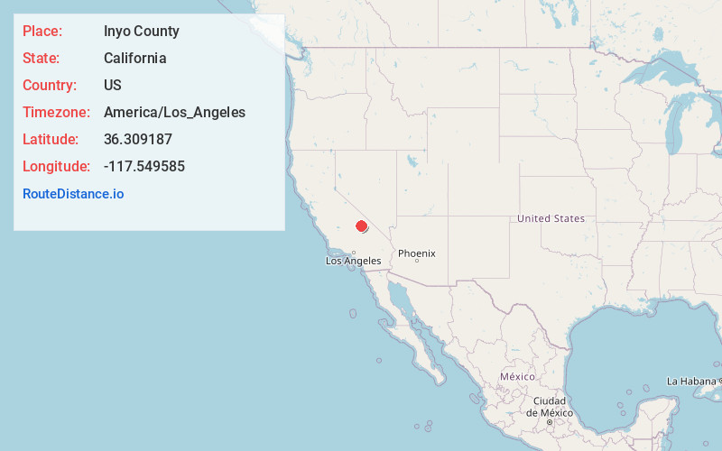
Full AddressInyo County, CA
-
Coordinates36.3091865, -117.5495846
-
LocationCalifornia , US
-
TimezoneAmerica/Los_Angeles
-
Current Local Time1:48:04 PM America/Los_AngelesTuesday, June 3, 2025
-
Page Views0
About Inyo County
Inyo County is a county in the eastern central part of the U.S. state of California, located between the Sierra Nevada and the state of Nevada. In the 2020 census, the population was 19,016. The county seat is Independence.


Nearby Places
Found 10 places within 50 miles

Darwin
3.7 mi
6.0 km
Darwin, CA 93522
Get directions

Panamint Springs
4.9 mi
7.9 km
Panamint Springs, CA
Get directions

Coso
10.6 mi
17.1 km
Coso, CA
Get directions
Junction Ranch
16.4 mi
26.4 km
Junction Ranch, CA
Get directions
Millspaugh
18.9 mi
30.4 km
Millspaugh, CA
Get directions

Keeler
21.8 mi
35.1 km
Keeler, CA 93530
Get directions

Swansea
24.8 mi
39.9 km
Swansea, CA 93545
Get directions

Harrisburg
24.9 mi
40.1 km
Harrisburg, CA
Get directions

Olancha
25.5 mi
41.0 km
Olancha, CA 93549
Get directions

Ballarat
25.6 mi
41.2 km
Ballarat, CA 93592
Get directions
Location Links
Local Weather
Weather Information
Coming soon!
Location Map
Static map view of Inyo County, California
Browse Places by Distance
Places within specific distances from Inyo County
Short Distances
Long Distances
Click any distance to see all places within that range from Inyo County. Distances shown in miles (1 mile ≈ 1.61 kilometers).