Distance to Panamint Springs, California

Calculating Your Route
Just a moment while we process your request...
Location Information
-
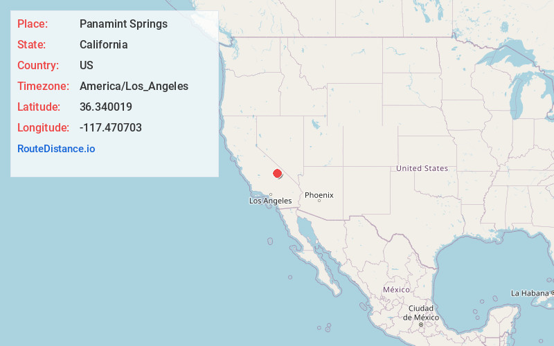
Full AddressPanamint Springs, CA
-
Coordinates36.340019, -117.470703
-
LocationPanamint Springs , California , US
-
TimezoneAmerica/Los_Angeles
-
Current Local Time4:11:49 PM America/Los_AngelesThursday, June 26, 2025
-
Page Views0
About Panamint Springs
Panamint Springs is private resort in Inyo County, California. It consists of a motel, cabins, RV and tent campsites, restaurant, and gas station, all operated by Cassell Enterprises, LLC. It lies at an elevation of 1926 feet.


Nearby Places
Found 10 places within 50 miles

Darwin
8.4 mi
13.5 km
Darwin, CA 93522
Get directions

Coso
15.0 mi
24.1 km
Coso, CA
Get directions

Harrisburg
20.2 mi
32.5 km
Harrisburg, CA
Get directions

Keeler
24.6 mi
39.6 km
Keeler, CA 93530
Get directions

Panamint
25.9 mi
41.7 km
Panamint, CA
Get directions

Swansea
27.3 mi
43.9 km
Swansea, CA 93545
Get directions
Mock
29.3 mi
47.2 km
Mock, CA 93545
Get directions

Olancha
30.1 mi
48.4 km
Olancha, CA 93549
Get directions
Dolomite
30.2 mi
48.6 km
Dolomite, CA
Get directions

Cartago
31.0 mi
49.9 km
Cartago, CA 93549
Get directions
Location Links
Local Weather
Weather Information
Coming soon!
Location Map
Static map view of Panamint Springs, California
Browse Places by Distance
Places within specific distances from Panamint Springs
Short Distances
Long Distances
Click any distance to see all places within that range from Panamint Springs. Distances shown in miles (1 mile ≈ 1.61 kilometers).