Distance to Ivyton, Kentucky

Calculating Your Route
Just a moment while we process your request...
Location Information
-
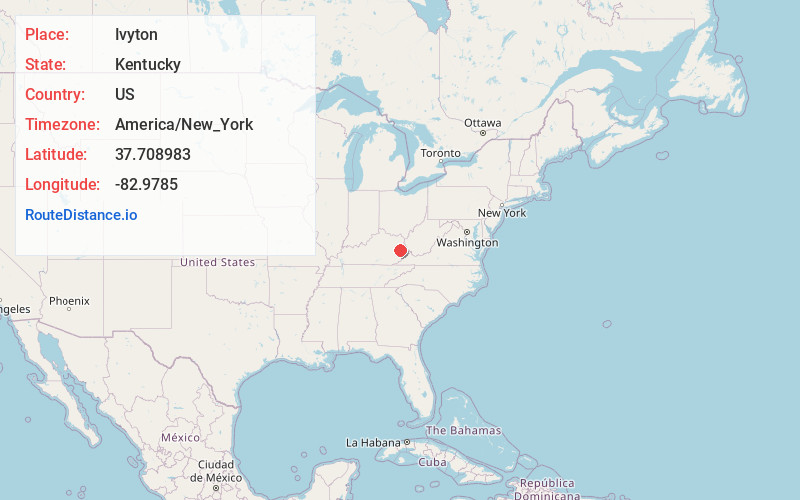
Full AddressIvyton, KY 41465
-
Coordinates37.7089828, -82.9785002
-
LocationIvyton , Kentucky , US
-
TimezoneAmerica/New_York
-
Current Local Time1:01:59 AM America/New_YorkSunday, June 22, 2025
-
Page Views0
About Ivyton
Ivyton is an unincorporated community in Magoffin County, Kentucky, United States. It lies along Route 114 southeast of the city of Salyersville, the county seat of Magoffin County. Its elevation is 984 feet.
A post office was established in the community in 1883. The town was named for the natural abundance of ivy.
Nearby Places
Found 10 places within 50 miles

Bradley
1.5 mi
2.4 km
Bradley, KY 41465
Get directions
Conley
3.0 mi
4.8 km
Conley, KY 41465
Get directions
Gypsy
3.3 mi
5.3 km
Gypsy, KY 41465
Get directions
Royalton
3.3 mi
5.3 km
Royalton, KY 41465
Get directions
Riceville
3.4 mi
5.5 km
Riceville, KY 41238
Get directions
Swampton
3.9 mi
6.3 km
Swampton, KY 41465
Get directions
Mason
4.0 mi
6.4 km
Mason, KY 41465
Get directions
Swamp Branch
4.9 mi
7.9 km
Swamp Branch, KY 41240
Get directions
Galdia
5.3 mi
8.5 km
Galdia, KY 41465
Get directions
Brainard
5.5 mi
8.9 km
Brainard, KY 41653
Get directions
Location Links
Local Weather
Weather Information
Coming soon!
Location Map
Static map view of Ivyton, Kentucky
Browse Places by Distance
Places within specific distances from Ivyton
Short Distances
Long Distances
Click any distance to see all places within that range from Ivyton. Distances shown in miles (1 mile ≈ 1.61 kilometers).