Distance to Janette Lake, Minnesota

Calculating Your Route
Just a moment while we process your request...
Location Information
-
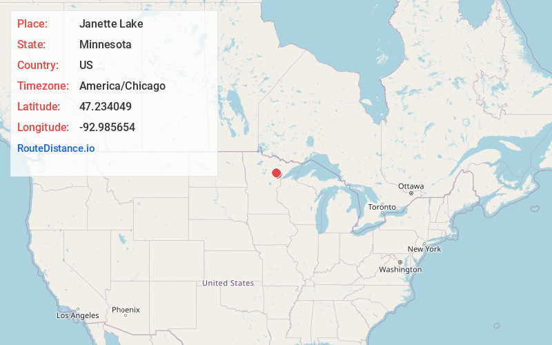
Full AddressJanette Lake, MN 55746
-
Coordinates47.2340488, -92.9856539
-
LocationJanette Lake , Minnesota , US
-
TimezoneAmerica/Chicago
-
Current Local Time7:46:54 PM America/ChicagoWednesday, June 4, 2025
-
Page Views0
About Janette Lake
Jeanette Lake is an unorganized territory in Saint Louis County, Minnesota, United States. The population was 249 at the 2000 census.
State Highway 73 serves as a main route in the area.
The unincorporated communities of Silica and Bengal are located within Janette Lake Unorganized Territory.
Nearby Places
Found 10 places within 50 miles

Silica
2.7 mi
4.3 km
Silica, MN 55746
Get directions
Bengal
4.4 mi
7.1 km
Bengal, MN 55746
Get directions

Goodland Township
7.2 mi
11.6 km
Goodland Township, MN
Get directions
Goodland
8.6 mi
13.8 km
Goodland, MN 55742
Get directions
Toivola
9.4 mi
15.1 km
Toivola, MN 55765
Get directions

Pengilly
12.0 mi
19.3 km
Pengilly, MN 55775
Get directions

Keewatin
12.1 mi
19.5 km
Keewatin, MN
Get directions
Kevin
12.6 mi
20.3 km
Kevin, MN 55775
Get directions
Cooley
12.9 mi
20.8 km
Cooley, MN 55769
Get directions

Nashwauk
13.2 mi
21.2 km
Nashwauk, MN
Get directions
Location Links
Local Weather
Weather Information
Coming soon!
Location Map
Static map view of Janette Lake, Minnesota
Browse Places by Distance
Places within specific distances from Janette Lake
Short Distances
Long Distances
Click any distance to see all places within that range from Janette Lake. Distances shown in miles (1 mile ≈ 1.61 kilometers).