Distance to Jefferson, Arkansas

Calculating Your Route
Just a moment while we process your request...
Location Information
-
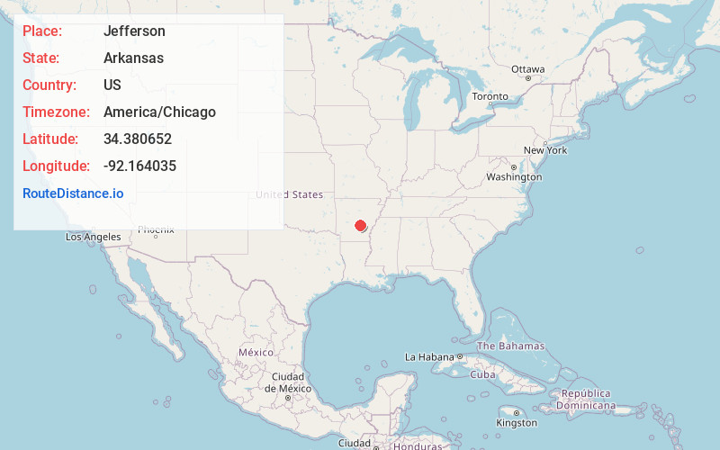
Full AddressJefferson, AR 72079
-
Coordinates34.3806516, -92.1640352
-
LocationJefferson , Arkansas , US
-
TimezoneAmerica/Chicago
-
Current Local Time5:51:13 PM America/ChicagoFriday, June 20, 2025
-
Page Views0
About Jefferson
Jefferson, also known as Jefferson Springs, is an unincorporated community in Jefferson County, Arkansas, United States. It is located on Arkansas Highway 365, 4.8 miles south-southeast of Redfield and is the home of the National Center for Toxicological Research.


Nearby Places
Found 10 places within 50 miles

Redfield
4.6 mi
7.4 km
Redfield, AR
Get directions

White Hall
8.7 mi
14.0 km
White Hall, AR 71602
Get directions

Hensley
8.9 mi
14.3 km
Hensley, AR 72065
Get directions
Henslee Heights
9.4 mi
15.1 km
Henslee Heights, White Hall, AR 71602
Get directions

Woodson
10.6 mi
17.1 km
Woodson, AR 72180
Get directions
Sherrill
12.1 mi
19.5 km
Sherrill, AR 72152
Get directions

Tucker
12.7 mi
20.4 km
Tucker, AR
Get directions

Pine Bluff
14.1 mi
22.7 km
Pine Bluff, AR
Get directions

Sheridan
14.4 mi
23.2 km
Sheridan, AR 72150
Get directions

East End
15.5 mi
24.9 km
East End, AR
Get directions
Location Links
Local Weather
Weather Information
Coming soon!
Location Map
Static map view of Jefferson, Arkansas
Browse Places by Distance
Places within specific distances from Jefferson
Short Distances
Long Distances
Click any distance to see all places within that range from Jefferson. Distances shown in miles (1 mile ≈ 1.61 kilometers).