Distance to Jerrys Run, West Virginia

Calculating Your Route
Just a moment while we process your request...
Location Information
-
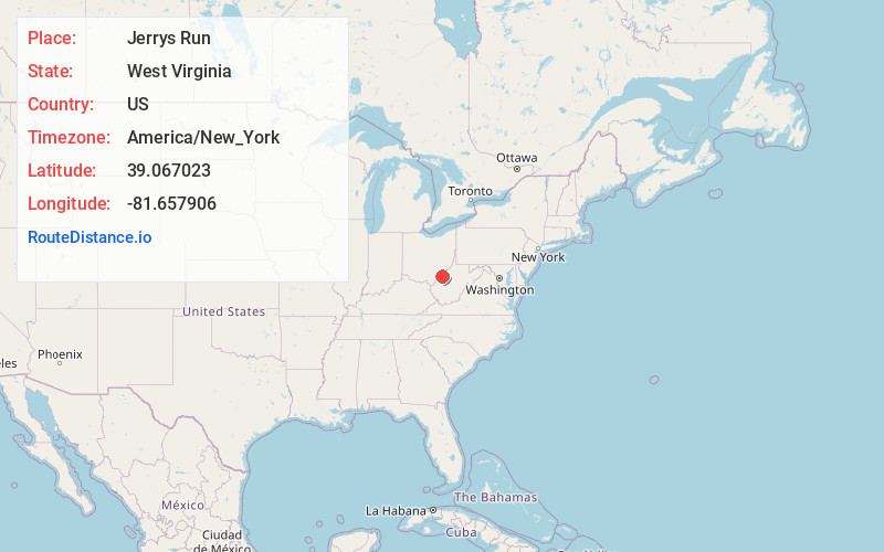
Full AddressJerrys Run, WV 26169
-
Coordinates39.0670233, -81.6579057
-
LocationWest Virginia , US
-
TimezoneAmerica/New_York
-
Current Local Time8:01:45 PM America/New_YorkWednesday, June 25, 2025
-
Page Views0
About Jerrys Run
Jerrys Run is an unincorporated community in Wood County, West Virginia, United States, located along Pond Creek.
Nearby Places
Found 10 places within 50 miles

Topins Grove
2.8 mi
4.5 km
Topins Grove, WV 26164
Get directions
Willowdale
3.2 mi
5.1 km
Willowdale, WV 26164
Get directions
Pond Creek
4.9 mi
7.9 km
Pond Creek, WV 26133
Get directions
Wiseburg
7.2 mi
11.6 km
Wiseburg, WV 25275
Get directions
Long Bottom
7.9 mi
12.7 km
Long Bottom, OH 45743
Get directions

Shade River State Forest
8.2 mi
13.2 km
Shade River State Forest, Ohio
Get directions
Wilding
8.4 mi
13.5 km
Wilding, WV 26164
Get directions
Hockingport
9.8 mi
15.8 km
Hockingport, OH
Get directions

Ravenswood
9.9 mi
15.9 km
Ravenswood, WV 26164
Get directions
Success
10.5 mi
16.9 km
Success, Olive Township, OH 45772
Get directions
Location Links
Local Weather
Weather Information
Coming soon!
Location Map
Static map view of Jerrys Run, West Virginia
Browse Places by Distance
Places within specific distances from Jerrys Run
Short Distances
Long Distances
Click any distance to see all places within that range from Jerrys Run. Distances shown in miles (1 mile ≈ 1.61 kilometers).