Distance to Joy, Oklahoma

Calculating Your Route
Just a moment while we process your request...
Location Information
-
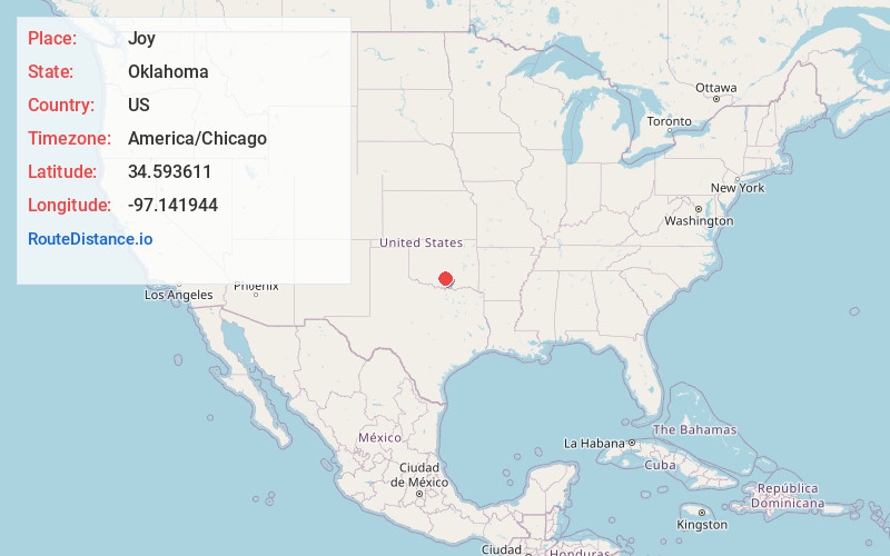
Full AddressJoy, OK 73098
-
Coordinates34.593611, -97.141944
-
LocationJoy , Oklahoma , US
-
TimezoneAmerica/Chicago
-
Current Local Time12:02:27 PM America/ChicagoThursday, June 19, 2025
-
Page Views0
About Joy
Joy is a community in Murray County, Oklahoma, United States. It is north of Davis and south of Wynnewood along US Route 77. It was named for the nearby Joy School. Joy School, in turn, was the name selected from a 1922 student contest to choose a new name when the Carr Flats, Talley, and Wheeler schools consolidated.


Nearby Places
Found 10 places within 50 miles

Wynnewood
3.8 mi
6.1 km
Wynnewood, OK 73098
Get directions

Davis
6.3 mi
10.1 km
Davis, OK 73030
Get directions

Pauls Valley
11.1 mi
17.9 km
Pauls Valley, OK
Get directions

Sulphur
11.5 mi
18.5 km
Sulphur, OK 73086
Get directions

Katie
12.0 mi
19.3 km
Katie, OK 73433
Get directions

Hennepin
13.1 mi
21.1 km
Hennepin, OK 73433
Get directions

Dougherty
14.3 mi
23.0 km
Dougherty, OK
Get directions

Elmore City
14.6 mi
23.5 km
Elmore City, OK 73433
Get directions

Satterwhite
15.1 mi
24.3 km
Satterwhite, OK 73433
Get directions

Hickory
16.2 mi
26.1 km
Hickory, OK 73086
Get directions
Location Links
Local Weather
Weather Information
Coming soon!
Location Map
Static map view of Joy, Oklahoma
Browse Places by Distance
Places within specific distances from Joy
Short Distances
Long Distances
Click any distance to see all places within that range from Joy. Distances shown in miles (1 mile ≈ 1.61 kilometers).