Distance to Juniper Creek, North Carolina

Calculating Your Route
Just a moment while we process your request...
Location Information
-
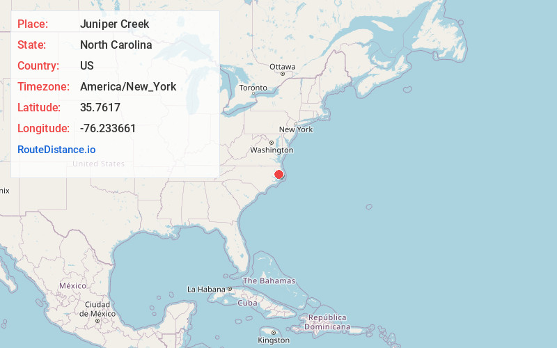
Full AddressJuniper Creek, North Carolina 27925
-
Coordinates35.7616998, -76.2336607
-
LocationNorth Carolina , US
-
TimezoneAmerica/New_York
-
Current Local Time5:22:03 AM America/New_YorkWednesday, June 18, 2025
-
Page Views0
Nearby Places
Found 10 places within 50 miles

Gum Neck
5.5 mi
8.9 km
Gum Neck, NC 27925
Get directions
Scotia
6.8 mi
10.9 km
Scotia, NC 27925
Get directions

Frying Pan
7.8 mi
12.6 km
Frying Pan, NC 27925
Get directions
Jerry
8.3 mi
13.4 km
Jerry, NC 27925
Get directions
Kilkenny
8.7 mi
14.0 km
Kilkenny, NC 27826
Get directions
Pleasant View
8.8 mi
14.2 km
Pleasant View, NC 27925
Get directions
Galilee Mission
9.6 mi
15.4 km
Galilee Mission, NC 27928
Get directions
Mills Ridge
9.7 mi
15.6 km
Mills Ridge, NC 27925
Get directions
Scuppernong River
10.3 mi
16.6 km
Scuppernong River, North Carolina
Get directions
Travis
10.7 mi
17.2 km
Travis, NC 27925
Get directions
Location Links
Local Weather
Weather Information
Coming soon!
Location Map
Static map view of Juniper Creek, North Carolina
Browse Places by Distance
Places within specific distances from Juniper Creek
Short Distances
Long Distances
Click any distance to see all places within that range from Juniper Creek. Distances shown in miles (1 mile ≈ 1.61 kilometers).