Distance to Keene, Ohio

Calculating Your Route
Just a moment while we process your request...
Location Information
-
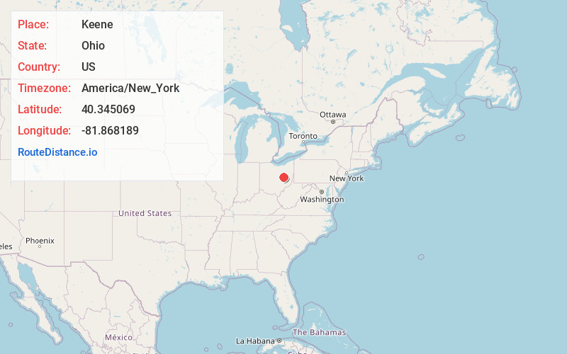
Full AddressKeene, OH 43812
-
Coordinates40.3450687, -81.8681894
-
LocationKeene , Ohio , US
-
TimezoneAmerica/New_York
-
Current Local Time2:05:13 AM America/New_YorkThursday, July 3, 2025
-
Page Views0
About Keene
Keene is an unincorporated community in central Keene Township, Coshocton County, Ohio, United States. It has a post office with the ZIP code 43828.
Nearby Places
Found 10 places within 50 miles

Randle
4.1 mi
6.6 km
Randle, Bethlehem Township, OH 43812
Get directions
Helmick
5.0 mi
8.0 km
Helmick, Clark Township, OH 43844
Get directions

Coshocton
5.1 mi
8.2 km
Coshocton, OH 43812
Get directions
Chili
6.3 mi
10.1 km
Chili, Crawford Township, OH 43824
Get directions
Metham
6.3 mi
10.1 km
Metham, OH 43844
Get directions
Blissfield
6.4 mi
10.3 km
Blissfield, OH 43844
Get directions

Fresno
6.7 mi
10.8 km
Fresno, OH 43824
Get directions

Warsaw
7.3 mi
11.7 km
Warsaw, OH 43844
Get directions

West Lafayette
7.8 mi
12.6 km
West Lafayette, OH 43845
Get directions
Tyrone
8.6 mi
13.8 km
Tyrone, Jackson Township, OH 43812
Get directions
Location Links
Local Weather
Weather Information
Coming soon!
Location Map
Static map view of Keene, Ohio
Browse Places by Distance
Places within specific distances from Keene
Short Distances
Long Distances
Click any distance to see all places within that range from Keene. Distances shown in miles (1 mile ≈ 1.61 kilometers).