Distance to Kelly, Kansas

Calculating Your Route
Just a moment while we process your request...
Location Information
-
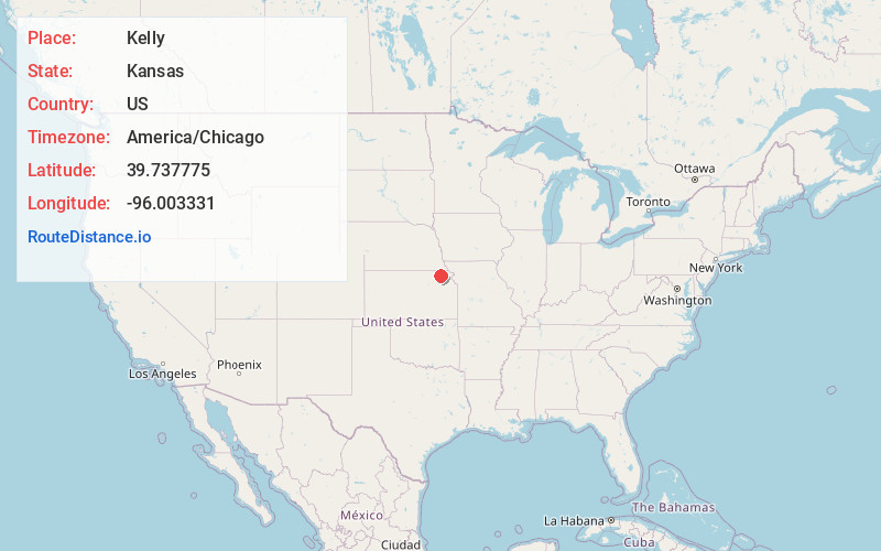
Full AddressKelly, KS 66538
-
Coordinates39.7377747, -96.0033308
-
LocationKelly , Kansas , US
-
TimezoneAmerica/Chicago
-
Current Local Time9:53:38 AM America/ChicagoWednesday, June 18, 2025
-
Page Views0
About Kelly
Kelly is a census-designated place in Nemaha County, Kansas, United States. As of the 2020 census, the population was 27.
Nearby Places
Found 10 places within 50 miles

Corning
5.7 mi
9.2 km
Corning, KS 66417
Get directions
Goff
6.4 mi
10.3 km
Goff, KS 66428
Get directions
Centralia
6.6 mi
10.6 km
Centralia, KS 66415
Get directions

Seneca
7.4 mi
11.9 km
Seneca, KS 66538
Get directions
Oneida
9.4 mi
15.1 km
Oneida, KS
Get directions
St Benedict
11.5 mi
18.5 km
St Benedict, KS 66538
Get directions
Baileyville
12.2 mi
19.6 km
Baileyville, KS 66404
Get directions
Wetmore
12.5 mi
20.1 km
Wetmore, KS 66550
Get directions
Vermillion
14.0 mi
22.5 km
Vermillion, KS 66544
Get directions
Soldier
14.1 mi
22.7 km
Soldier, KS 66540
Get directions
Location Links
Local Weather
Weather Information
Coming soon!
Location Map
Static map view of Kelly, Kansas
Browse Places by Distance
Places within specific distances from Kelly
Short Distances
Long Distances
Click any distance to see all places within that range from Kelly. Distances shown in miles (1 mile ≈ 1.61 kilometers).