Distance to Oneida, Kansas

Calculating Your Route
Just a moment while we process your request...
Location Information
-
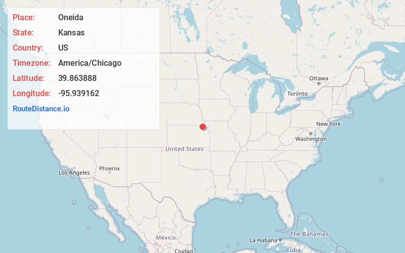
Full AddressOneida, KS
-
Coordinates39.8638876, -95.9391621
-
LocationOneida , Kansas , US
-
TimezoneAmerica/Chicago
-
Current Local Time9:07:39 AM America/ChicagoWednesday, June 18, 2025
-
Page Views0
About Oneida
Oneida is a city in Nemaha County, Kansas, United States. As of the 2020 census, the population of the city was 61.
Nearby Places
Found 10 places within 50 miles

Seneca
6.9 mi
11.1 km
Seneca, KS 66538
Get directions

Sabetha
7.8 mi
12.6 km
Sabetha, KS 66534
Get directions
Fairview
11.3 mi
18.2 km
Fairview, KS 66425
Get directions
Centralia
13.8 mi
22.2 km
Centralia, KS 66415
Get directions

Axtell
17.0 mi
27.4 km
Axtell, KS 66403
Get directions
Wetmore
17.3 mi
27.8 km
Wetmore, KS 66550
Get directions

Humboldt
20.7 mi
33.3 km
Humboldt, NE 68376
Get directions
Pawnee City
20.7 mi
33.3 km
Pawnee City, NE 68420
Get directions
Hiawatha
21.4 mi
34.4 km
Hiawatha, KS 66434
Get directions

Falls City
22.5 mi
36.2 km
Falls City, NE 68355
Get directions
Location Links
Local Weather
Weather Information
Coming soon!
Location Map
Static map view of Oneida, Kansas
Browse Places by Distance
Places within specific distances from Oneida
Short Distances
Long Distances
Click any distance to see all places within that range from Oneida. Distances shown in miles (1 mile ≈ 1.61 kilometers).