Distance to Kenilworth, Montana

Calculating Your Route
Just a moment while we process your request...
Location Information
-
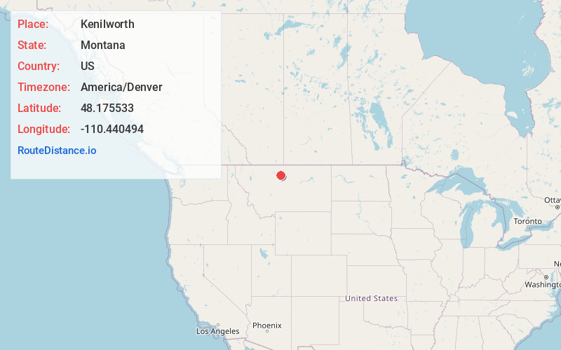
Full AddressKenilworth, MT 59520
-
Coordinates48.1755329, -110.440494
-
LocationKenilworth , Montana , US
-
TimezoneAmerica/Denver
-
Current Local Time2:26:58 AM America/DenverSunday, June 22, 2025
-
Page Views0
Nearby Places
Found 10 places within 50 miles

Virgelle
14.1 mi
22.7 km
Virgelle, MT 59442
Get directions

Big Sandy
15.1 mi
24.3 km
Big Sandy, MT 59520
Get directions

Lippard
15.6 mi
25.1 km
Lippard, MT 59442
Get directions

Loma
16.7 mi
26.9 km
Loma, MT 59460
Get directions

Box Elder
21.9 mi
35.2 km
Box Elder, MT 59521
Get directions

Fort Benton
25.6 mi
41.2 km
Fort Benton, MT 59442
Get directions

Hingham
26.2 mi
42.2 km
Hingham, MT 59528
Get directions

Rudyard
27.2 mi
43.8 km
Rudyard, MT 59540
Get directions

Riverview Colony
27.2 mi
43.8 km
Riverview Colony, MT
Get directions
Boneau
27.8 mi
44.7 km
Boneau, MT 59521
Get directions
Location Links
Local Weather
Weather Information
Coming soon!
Location Map
Static map view of Kenilworth, Montana
Browse Places by Distance
Places within specific distances from Kenilworth
Short Distances
Long Distances
Click any distance to see all places within that range from Kenilworth. Distances shown in miles (1 mile ≈ 1.61 kilometers).