Distance to Loma, Montana

Calculating Your Route
Just a moment while we process your request...
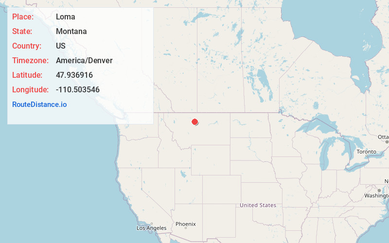
Location Information
-
Full AddressLoma, MT 59460
-
Coordinates47.9369164, -110.5035455
-
LocationLoma , Montana , US
-
TimezoneAmerica/Denver
-
Current Local Time4:33:12 AM America/DenverFriday, May 23, 2025
-
Page Views0
About Loma
Loma is a census-designated place in Chouteau County, Montana, United States. The population was 85 at the 2010 census.


Nearby Places
Found 10 places within 50 miles

Fort Benton
10.1 mi
16.3 km
Fort Benton, MT 59442
Get directions

Carter
23.6 mi
38.0 km
Carter, MT 59420
Get directions

Big Sandy
24.6 mi
39.6 km
Big Sandy, MT 59520
Get directions

Geraldine
25.6 mi
41.2 km
Geraldine, MT
Get directions

Highwood
27.8 mi
44.7 km
Highwood, MT 59450
Get directions

Riverview Colony
29.5 mi
47.5 km
Riverview Colony, MT
Get directions
St Pierre
38.3 mi
61.6 km
St Pierre, MT 59521
Get directions
Boneau
38.4 mi
61.8 km
Boneau, MT 59521
Get directions
Sangrey
39.9 mi
64.2 km
Sangrey, MT 59521
Get directions
Azure
40.8 mi
65.7 km
Azure, MT 59521
Get directions
Location Links
Local Weather
Weather Information
Coming soon!
Location Map
Static map view of Loma, Montana
Browse Places by Distance
Places within specific distances from Loma
Short Distances
Long Distances
Click any distance to see all places within that range from Loma. Distances shown in miles (1 mile ≈ 1.61 kilometers).