Distance to Kentontown, Kentucky

Calculating Your Route
Just a moment while we process your request...
Location Information
-
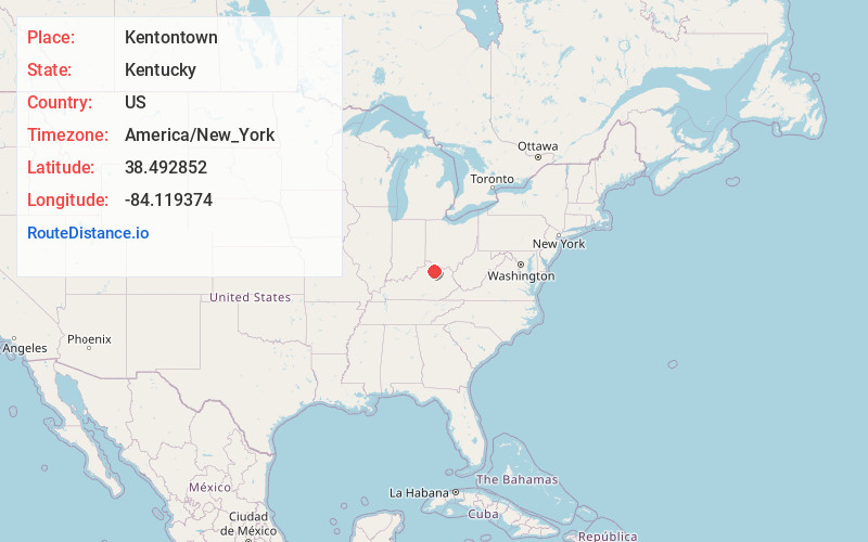
Full AddressKentontown, KY 41064
-
Coordinates38.4928523, -84.1193744
-
LocationKentontown , Kentucky , US
-
TimezoneAmerica/New_York
-
Current Local Time2:36:30 AM America/New_YorkThursday, July 3, 2025
-
Page Views0
About Kentontown
Kentontown is an unincorporated community in Robertson County, Kentucky, United States. It lies along U.S. Route 62 and Kentucky Route 617 southwest of the city of Mount Olivet, the county seat of Robertson County. Its elevation is 725 feet.
Nearby Places
Found 10 places within 50 miles

Sylvandell
3.8 mi
6.1 km
Sylvandell, KY 41031
Get directions
Piqua
4.4 mi
7.1 km
Piqua, KY 41064
Get directions
Barefoot
4.8 mi
7.7 km
Barefoot, KY 40311
Get directions

Mt Olivet
5.2 mi
8.4 km
Mt Olivet, KY 41064
Get directions
Venus
5.3 mi
8.5 km
Venus, KY 41031
Get directions
Santa Fe
5.4 mi
8.7 km
Santa Fe, KY 41004
Get directions
Milford
6.4 mi
10.3 km
Milford, KY 41004
Get directions
Hittville
6.9 mi
11.1 km
Hittville, KY 41004
Get directions
Oddville
7.0 mi
11.3 km
Oddville, KY 41031
Get directions

Licking River
8.2 mi
13.2 km
Licking River, Kentucky
Get directions
Location Links
Local Weather
Weather Information
Coming soon!
Location Map
Static map view of Kentontown, Kentucky
Browse Places by Distance
Places within specific distances from Kentontown
Short Distances
Long Distances
Click any distance to see all places within that range from Kentontown. Distances shown in miles (1 mile ≈ 1.61 kilometers).