Distance to Kerz, Kentucky

Calculating Your Route
Just a moment while we process your request...
Location Information
-
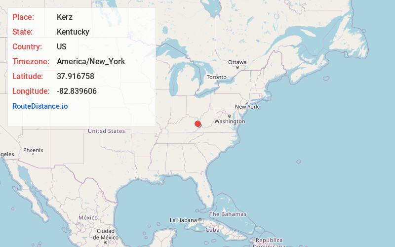
Full AddressKerz, KY 41255
-
Coordinates37.9167581, -82.8396063
-
LocationKentucky , US
-
TimezoneAmerica/New_York
-
Current Local Time7:44:02 PM America/New_YorkFriday, June 20, 2025
-
Page Views0
About Kerz
Kerz is an unincorporated community in Johnson County, Kentucky, United States. It is located at an elevation of 843 feet. Its ZIP code is 41255.
Nearby Places
Found 10 places within 50 miles

Chandlerville
1.8 mi
2.9 km
Chandlerville, KY 41257
Get directions
Winifred
2.2 mi
3.5 km
Winifred, KY 41255
Get directions
Sitka
2.5 mi
4.0 km
Sitka, KY 41255
Get directions

Flatgap
2.9 mi
4.7 km
Flatgap, KY 41219
Get directions
Volga
3.6 mi
5.8 km
Volga, KY 41219
Get directions
Davisville
3.7 mi
6.0 km
Davisville, KY 41124
Get directions
Wittensville
4.3 mi
6.9 km
Wittensville, KY 41240
Get directions
Nippa
4.5 mi
7.2 km
Nippa, KY 41240
Get directions
Fuget
5.0 mi
8.0 km
Fuget, KY 41219
Get directions
Lowmansville
5.9 mi
9.5 km
Lowmansville, KY 41232
Get directions
Location Links
Local Weather
Weather Information
Coming soon!
Location Map
Static map view of Kerz, Kentucky
Browse Places by Distance
Places within specific distances from Kerz
Short Distances
Long Distances
Click any distance to see all places within that range from Kerz. Distances shown in miles (1 mile ≈ 1.61 kilometers).