Distance to Kilkenny, New Hampshire

Calculating Your Route
Just a moment while we process your request...
Location Information
-
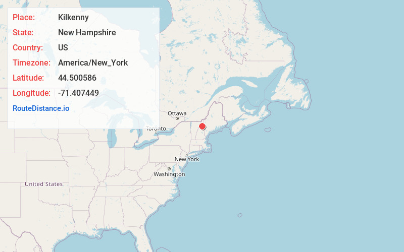
Full AddressKilkenny, NH
-
Coordinates44.5005857, -71.4074493
-
LocationKilkenny , New Hampshire , US
-
TimezoneAmerica/New_York
-
Current Local Time8:52:38 PM America/New_YorkWednesday, June 18, 2025
-
Page Views0
About Kilkenny
Kilkenny is a township in Coös County, New Hampshire, United States. It lies entirely within the White Mountain National Forest. As of the 2020 census, the township had a population of zero.
Nearby Places
Found 10 places within 50 miles

Jefferson
6.5 mi
10.5 km
Jefferson, NH
Get directions

Stark
7.0 mi
11.3 km
Stark, NH 03582
Get directions

Lancaster
8.0 mi
12.9 km
Lancaster, NH
Get directions

Northumberland
8.5 mi
13.7 km
Northumberland, NH
Get directions

Randolph
10.7 mi
17.2 km
Randolph, NH
Get directions

Berlin
11.2 mi
18.0 km
Berlin, NH
Get directions

Milan
12.1 mi
19.5 km
Milan, NH 03588
Get directions

Guildhall
12.2 mi
19.6 km
Guildhall, VT 05905
Get directions

Dummer
12.7 mi
20.4 km
Dummer, NH
Get directions

Stratford
13.0 mi
20.9 km
Stratford, NH
Get directions
Location Links
Local Weather
Weather Information
Coming soon!
Location Map
Static map view of Kilkenny, New Hampshire
Browse Places by Distance
Places within specific distances from Kilkenny
Short Distances
Long Distances
Click any distance to see all places within that range from Kilkenny. Distances shown in miles (1 mile ≈ 1.61 kilometers).