Distance to Randolph, New Hampshire

Calculating Your Route
Just a moment while we process your request...
Location Information
-
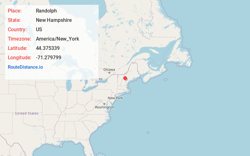
Full AddressRandolph, NH
-
Coordinates44.3753393, -71.2797985
-
LocationRandolph , New Hampshire , US
-
TimezoneAmerica/New_York
-
Current Local Time2:40:48 PM America/New_YorkThursday, May 29, 2025
-
Page Views0
About Randolph
Randolph is a heavily forested town in Coös County, New Hampshire, United States, extending from the northern slopes of the White Mountains of the Presidential Range to the Crescent Range and Berlin, with U.S. Route 2 cutting through the middle.


Nearby Places
Found 10 places within 50 miles

Gorham
5.4 mi
8.7 km
Gorham, NH 03581
Get directions

Berlin
8.0 mi
12.9 km
Berlin, NH
Get directions

Jefferson
10.1 mi
16.3 km
Jefferson, NH
Get directions

Shelburne
10.3 mi
16.6 km
Shelburne, NH 03581
Get directions

Carroll
14.1 mi
22.7 km
Carroll, NH
Get directions

Milan
14.5 mi
23.3 km
Milan, NH 03588
Get directions

Lancaster
16.3 mi
26.2 km
Lancaster, NH
Get directions

Whitefield
16.4 mi
26.4 km
Whitefield, NH
Get directions

Jackson
16.5 mi
26.6 km
Jackson, NH
Get directions

Stark
17.2 mi
27.7 km
Stark, NH 03582
Get directions
Location Links
Local Weather
Weather Information
Coming soon!
Location Map
Static map view of Randolph, New Hampshire
Browse Places by Distance
Places within specific distances from Randolph
Short Distances
Long Distances
Click any distance to see all places within that range from Randolph. Distances shown in miles (1 mile ≈ 1.61 kilometers).