Distance to Shelburne, New Hampshire

Calculating Your Route
Just a moment while we process your request...
Location Information
-
Full AddressShelburne, NH 03581
-
Coordinates44.4011722, -71.0747975
-
LocationShelburne , New Hampshire , US
-
TimezoneAmerica/New_York
-
Current Local Time1:17:05 AM America/New_YorkFriday, June 20, 2025
-
Page Views0
About Shelburne
Shelburne is a town in Coös County, New Hampshire, United States. The population was 353 at the 2020 census. It is located in the White Mountains, and part of the White Mountain National Forest is in the south. Shelburne is home to Leadmine State Forest. The Appalachian Trail crosses the town.


Nearby Places
Found 10 places within 50 miles

Gorham
4.9 mi
7.9 km
Gorham, NH 03581
Get directions

Berlin
7.2 mi
11.6 km
Berlin, NH
Get directions

Milan
13.1 mi
21.1 km
Milan, NH 03588
Get directions

Bethel
14.1 mi
22.7 km
Bethel, ME
Get directions

Jackson
18.4 mi
29.6 km
Jackson, NH
Get directions

Jefferson
19.8 mi
31.9 km
Jefferson, NH
Get directions

Lovell
21.1 mi
34.0 km
Lovell, ME
Get directions

Woodstock
21.4 mi
34.4 km
Woodstock, ME 04219
Get directions

Greenwood
21.7 mi
34.9 km
Greenwood, ME
Get directions

Andover
22.7 mi
36.5 km
Andover, ME
Get directions
Location Links
Local Weather
Weather Information
Coming soon!
Location Map
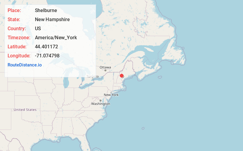
Static map view of Shelburne, New Hampshire
Browse Places by Distance
Places within specific distances from Shelburne
Short Distances
Long Distances
Click any distance to see all places within that range from Shelburne. Distances shown in miles (1 mile ≈ 1.61 kilometers).