Distance to Kipling, North Carolina

Calculating Your Route
Just a moment while we process your request...
Location Information
-
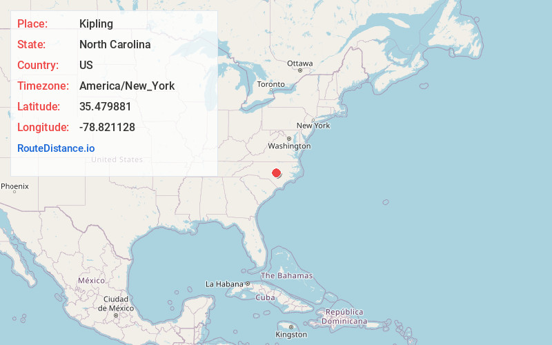
Full AddressKipling, NC 27526
-
Coordinates35.4798813, -78.8211282
-
LocationKipling , North Carolina , US
-
TimezoneAmerica/New_York
-
Current Local Time5:20:03 AM America/New_YorkWednesday, June 18, 2025
-
Page Views0
About Kipling
Kipling is an unincorporated community located along U.S. Route 401 in the Hectors Creek Township of Harnett County, North Carolina, United States, situated between the communities of Cape Fear and Chalybeate Springs north of Lillington.
Nearby Places
Found 10 places within 50 miles

Rawls
4.0 mi
6.4 km
Rawls, NC 27526
Get directions

Angier
5.0 mi
8.0 km
Angier, NC
Get directions

Lillington
5.6 mi
9.0 km
Lillington, NC
Get directions

Duncan
6.4 mi
10.3 km
Duncan, NC 27526
Get directions

Buies Creek
6.7 mi
10.8 km
Buies Creek, NC 27546
Get directions
Holland
7.0 mi
11.3 km
Holland, NC 27526
Get directions

Fuquay-Varina
7.3 mi
11.7 km
Fuquay-Varina, NC
Get directions
Mamers
7.7 mi
12.4 km
Mamers, NC 27546
Get directions
Harnett
9.4 mi
15.1 km
Harnett, NC 27546
Get directions

Coats
9.8 mi
15.8 km
Coats, NC
Get directions
Location Links
Local Weather
Weather Information
Coming soon!
Location Map
Static map view of Kipling, North Carolina
Browse Places by Distance
Places within specific distances from Kipling
Short Distances
Long Distances
Click any distance to see all places within that range from Kipling. Distances shown in miles (1 mile ≈ 1.61 kilometers).