Distance to Laborcita Canyon, New Mexico

Calculating Your Route
Just a moment while we process your request...
Location Information
-
Full AddressLaborcita Canyon, New Mexico 88337
-
Coordinates33.0114757, -105.9419342
-
LocationNew Mexico , US
-
TimezoneAmerica/Denver
-
Current Local Time3:49:00 AM America/DenverThursday, June 19, 2025
-
Page Views0
Nearby Places
Found 10 places within 50 miles

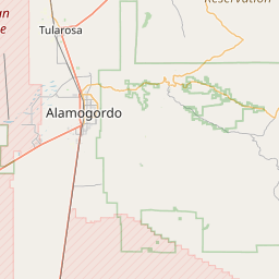
Kearney
3.6 mi
5.8 km
Kearney, NM 88310
Get directions

Tularosa
6.2 mi
10.0 km
Tularosa, NM 88352
Get directions
Red Hill
7.0 mi
11.3 km
Red Hill, High Rolls, NM 88310
Get directions

High Rolls
7.5 mi
12.1 km
High Rolls, NM
Get directions

Alamogordo
7.7 mi
12.4 km
Alamogordo, NM 88310
Get directions

Cloudcroft
12.2 mi
19.6 km
Cloudcroft, NM 88317
Get directions
Omlee
12.2 mi
19.6 km
Omlee, Boles Acres, NM 88310
Get directions

Blazers Mill
13.4 mi
21.6 km
Blazers Mill, Mescalero, NM 88340
Get directions


Leaflet © OpenStreetMap contributors
Location Links
Local Weather
Weather Information
Coming soon!
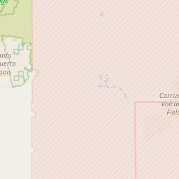
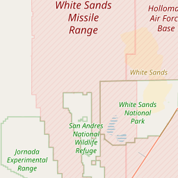
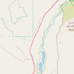
Location Map
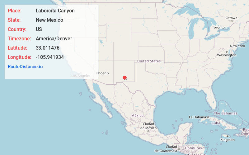
Static map view of Laborcita Canyon, New Mexico
Browse Places by Distance
Places within specific distances from Laborcita Canyon
Short Distances
Long Distances
Click any distance to see all places within that range from Laborcita Canyon. Distances shown in miles (1 mile ≈ 1.61 kilometers).