Distance to Lake Superior Public School District, Minnesota

Calculating Your Route
Just a moment while we process your request...
Location Information
-
Full AddressLake Superior Public School District, MN
-
Coordinates47.5964304, -91.4964639
-
LocationMinnesota , US
-
TimezoneAmerica/Chicago
-
Current Local Time10:34:47 AM America/ChicagoTuesday, June 3, 2025
-
Page Views0


Nearby Places
Found 10 places within 50 miles

Jay See Landing
3.6 mi
5.8 km
Jay See Landing, MN 55607
Get directions

Stony River Township
6.7 mi
10.8 km
Stony River Township, MN
Get directions

Isabella
6.7 mi
10.8 km
Isabella, MN 55607
Get directions
Baptism Crossing
8.6 mi
13.8 km
Baptism Crossing, MN 55603
Get directions
Kelly Landing
9.3 mi
15.0 km
Kelly Landing, MN 55607
Get directions
Murphy City
10.0 mi
16.1 km
Murphy City, MN 55603
Get directions
Manitou Junction
11.3 mi
18.2 km
Manitou Junction, MN 55603
Get directions
Happy Wanderer
11.3 mi
18.2 km
Happy Wanderer, MN 55607
Get directions
Greenwood Junction
11.4 mi
18.3 km
Greenwood Junction, MN 55614
Get directions

Lake No. 2
12.7 mi
20.4 km
Lake No. 2, MN
Get directions
Location Links
Local Weather
Weather Information
Coming soon!
Location Map
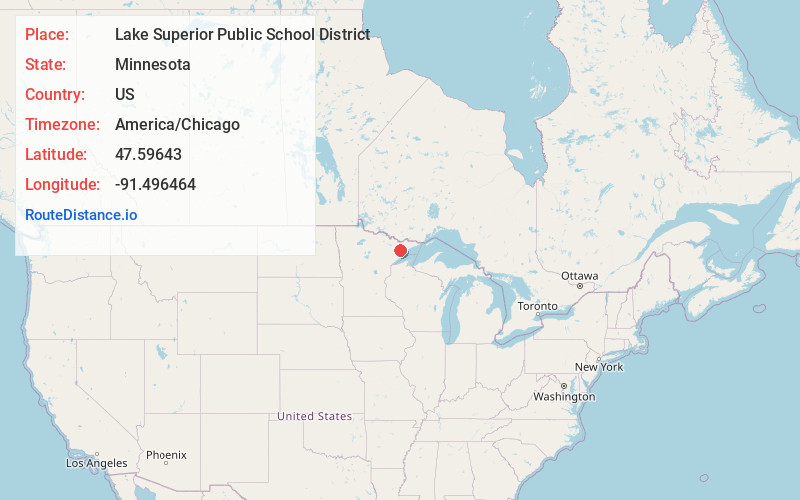
Static map view of Lake Superior Public School District, Minnesota
Browse Places by Distance
Places within specific distances from Lake Superior Public School District
Short Distances
Long Distances
Click any distance to see all places within that range from Lake Superior Public School District. Distances shown in miles (1 mile ≈ 1.61 kilometers).