Distance to Lamoine, California

Calculating Your Route
Just a moment while we process your request...
Location Information
-
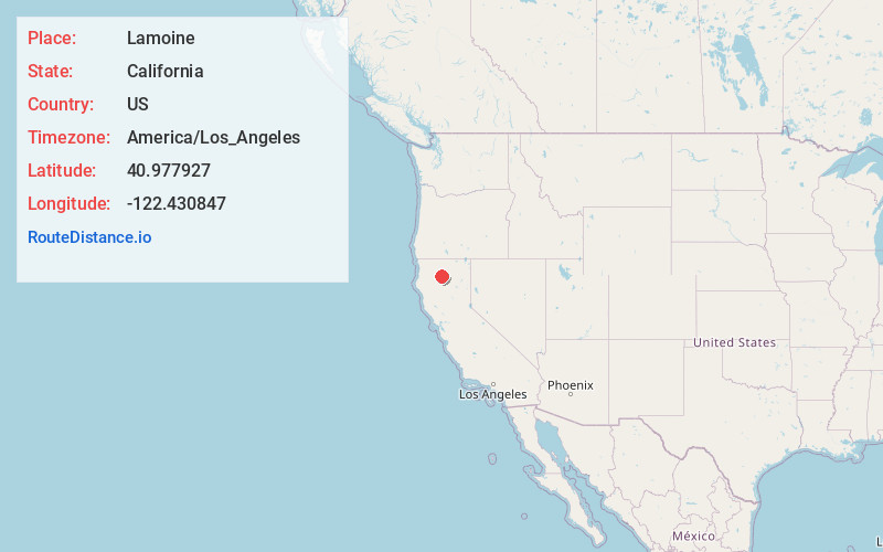
Full AddressLamoine, CA 96051
-
Coordinates40.9779272, -122.4308472
-
LocationLamoine , California , US
-
TimezoneAmerica/Los_Angeles
-
Current Local Time8:26:15 AM America/Los_AngelesMonday, June 23, 2025
-
Page Views0
Nearby Places
Found 10 places within 50 miles

Lakehead
6.4 mi
10.3 km
Lakehead, CA 96051
Get directions

Trinity Center
14.4 mi
23.2 km
Trinity Center, CA 96091
Get directions

Castella
15.7 mi
25.3 km
Castella, CA
Get directions

Coffee Creek
16.2 mi
26.1 km
Coffee Creek, CA 96091
Get directions

Dunsmuir
17.9 mi
28.8 km
Dunsmuir, CA
Get directions

Mountain Gate
18.8 mi
30.3 km
Mountain Gate, CA 96003
Get directions

Shasta Lake
20.8 mi
33.5 km
Shasta Lake, CA 96019
Get directions

Azalea
21.8 mi
35.1 km
Azalea, CA 96067
Get directions

French Gulch
22.0 mi
35.4 km
French Gulch, CA 96033
Get directions

Mt Shasta
23.8 mi
38.3 km
Mt Shasta, CA 96067
Get directions
Location Links
Local Weather
Weather Information
Coming soon!
Location Map
Static map view of Lamoine, California
Browse Places by Distance
Places within specific distances from Lamoine
Short Distances
Long Distances
Click any distance to see all places within that range from Lamoine. Distances shown in miles (1 mile ≈ 1.61 kilometers).