Distance to Langston, Oklahoma

Calculating Your Route
Just a moment while we process your request...
Location Information
-
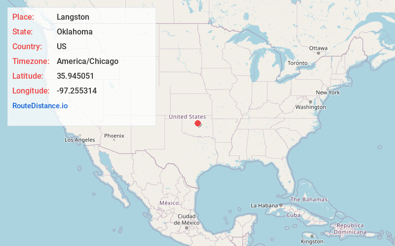
Full AddressLangston, OK
-
Coordinates35.9450505, -97.2553142
-
LocationLangston , Oklahoma , US
-
TimezoneAmerica/Chicago
-
Current Local Time12:49:04 PM America/ChicagoWednesday, June 18, 2025
-
Page Views0
About Langston
Langston is a town in Logan County, Oklahoma, United States, and is part of the Oklahoma City metropolitan area. The population was 1,619 as of the 2020 United States census. Langston is home to Langston University, the only historically black college in Oklahoma.


Nearby Places
Found 10 places within 50 miles

Guthrie
10.6 mi
17.1 km
Guthrie, OK
Get directions

Perkins
12.6 mi
20.3 km
Perkins, OK 74059
Get directions

Stillwater
16.1 mi
25.9 km
Stillwater, OK
Get directions

Edmond
23.7 mi
38.1 km
Edmond, OK
Get directions

Perry
23.9 mi
38.5 km
Perry, OK 73077
Get directions

Jones
26.3 mi
42.3 km
Jones, OK
Get directions

Chandler
26.9 mi
43.3 km
Chandler, OK 74834
Get directions

Cushing
27.5 mi
44.3 km
Cushing, OK 74023
Get directions

Spencer
30.7 mi
49.4 km
Spencer, OK
Get directions

Choctaw
30.9 mi
49.7 km
Choctaw, OK 73020
Get directions
Location Links
Local Weather
Weather Information
Coming soon!
Location Map
Static map view of Langston, Oklahoma
Browse Places by Distance
Places within specific distances from Langston
Short Distances
Long Distances
Click any distance to see all places within that range from Langston. Distances shown in miles (1 mile ≈ 1.61 kilometers).